What is recorded here
Mapped graveyard is a graveyard in County Down, Ireland. Perhaps the stones stand in rows so clear they could be drawn without thought, and the dead leave behind a shape sharp enough to read at a glance.
Mapped graveyard is a graveyard in County Down, Ireland.
Places near here
 Raffrey Presbyterian ChurchChurch · 13 yd
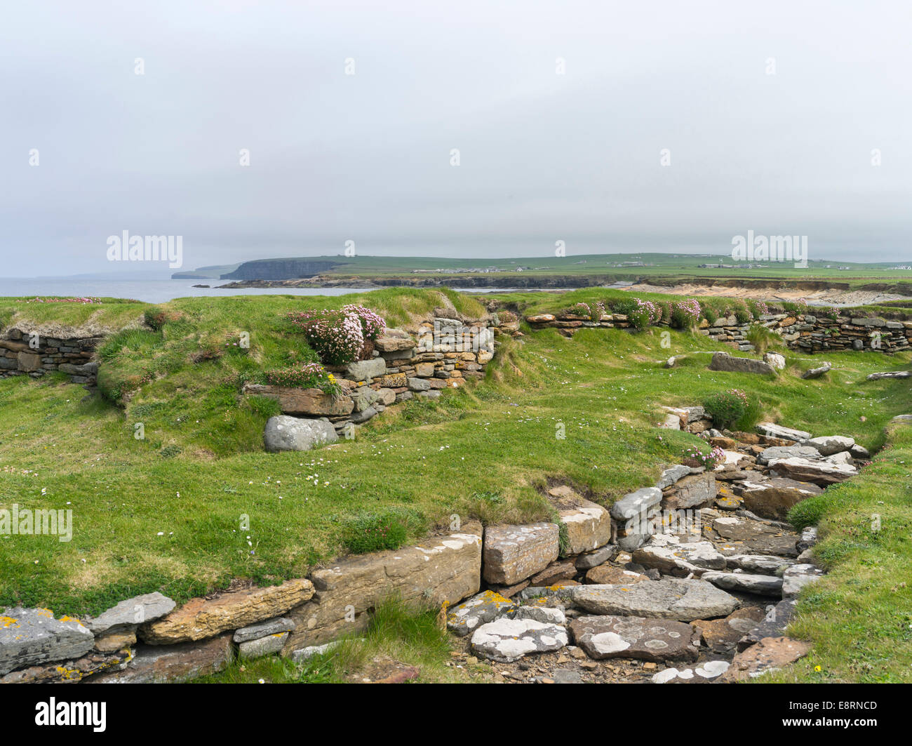 Historic Settlement Darragh Cross in BarnamagheryHistoric Settlement Darragh Cross · 1.1 mi
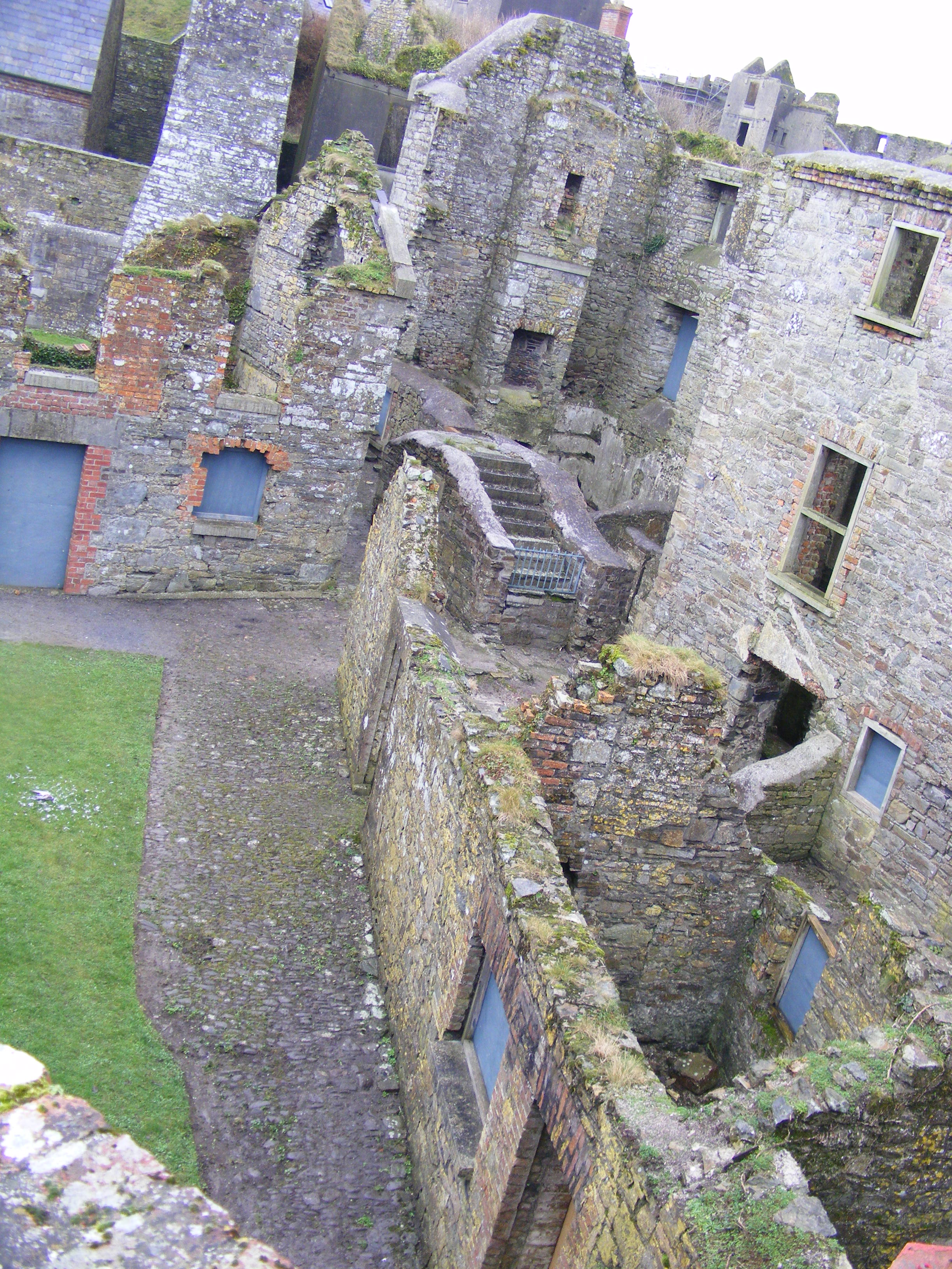 ENCLOSURE: CURLEY'S FORT in BarnamagheryENCLOSURE: CURLEY'S FORT · 1.1 mi
 Glasswater WoodWood · 2.4 mi
 Former market houseOffice · 3.2 mi
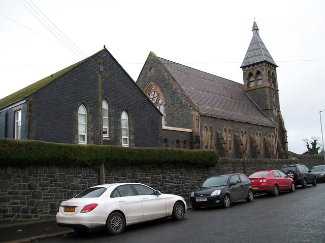 The Square Car ParkVisitor information · 3.2 mi
 ShrigleyVisitor information · 3.8 mi
 Battle of Saintfield (1798)Battlefield · 3.9 mi
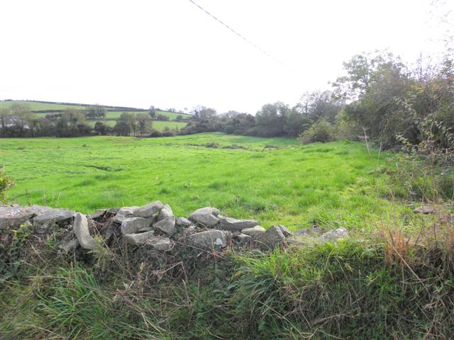 Wallace HillMountain / peak · 4.1 mi
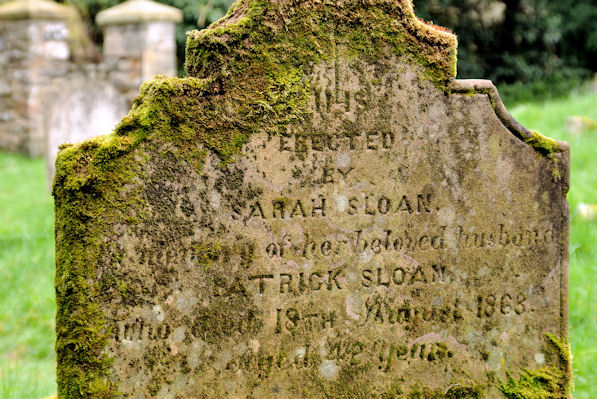 KILLOWEN MEDIEVAL CHURCH (ruined) and GRAVEYARD; with 2 CROSS-CARVED STONES in Corporation (killyleagh)KILLOWEN MEDIEVAL CHURCH (ruined) and GRAVEYARD; with 2 CROSS-CARVED STONES · 4.3 mi
 CASTLE, possibly Tower-House in RingdufferinCASTLE, possibly Tower-House · 4.4 mi
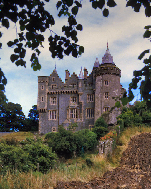 KILLYLEAGH CASTLEKILLYLEAGH CASTLE, multiperiod castle on site of Motte · 4.4 mi