What is recorded here
Places near here
Photo credits
- Maker not stated on source page, en.wikipedia.org
- Watty Graham’s GAC website; individual photographer not named, www.wattygrahamsgac.com
- Kenneth Allen, Geograph · CC BY-SA 2.0
- Otter, Wikimedia Commons · CC BY-SA 4.0
- Maker not stated on source page, commons.wikimedia.org
- Kenneth Allen, Wikimedia Commons · CC BY-SA 2.0
- Maker not stated on source page, www.pinterest.com
- Maker not stated on source page, www.dreamstime.com
 Cists, possibly Cist Cemetery (O.S. memoir site, unlocated) in CraigadickCists, possibly Cist Cemetery (O.S. memoir site, unlocated) · 1596 yd
Explorer Tom Cists, possibly Cist Cemetery in Craigadick claims to be a full graveyard but can't even find itself on the map. Some…
 Old Killelagh ChurchRuins · 1715 yd
Explorer Tom Old Killelagh Church in County Derry has got a pigeon who absolutely refuses to leave the roof. He’s basically the…
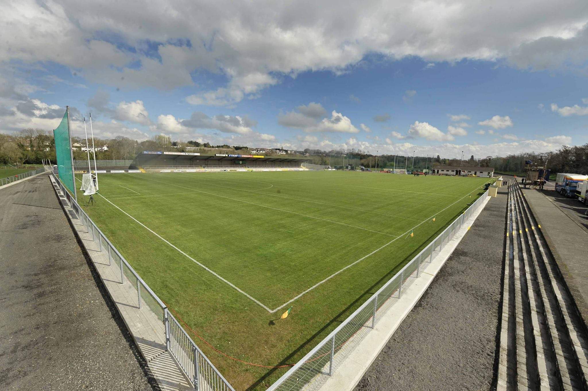 Watty Graham Park, Watty Graham's GAA, GlenGAA ground · 1731 yd
 Tirnony DolmenArchaeological place · 1736 yd
Explorer Tom Tirnony Dolmen in County Derry is basically a stone bench that got promoted to monument status and now acts all…
 Portal tomb: tirnony dolmen in TirnonyPortal Tomb: Tirnony Dolmen · 1737 yd
Explorer Tom The Tirnony dolmen is in state care, meaning the government thinks it’s special but won’t pay for a fence. It would…
 Craigadick Picnic AreaPicnic place · 1.3 mi
Explorer Tom Craigadick Picnic Area has a bird that refuses to leave, probably because it likes the smell of old chips. It’s south…
 Fairys RingWood · 1.4 mi
Explorer Tom Fairys Ring’s name really means 'The Place Where You Forgot Your Keys,' which is why everyone ends up going in circles…
 Presbyterian ChurchChurch · 1.6 mi
Explorer Tom Presbyterian Church in Maghera is keeping its secrets tighter than a miser with his coins. I heard it whispers to the…
 Fairys CastleWood · 1.6 mi
Explorer Tom Fairys Castle would win a county fair by simply standing there looking mysterious while everyone else tries to juggle…
 Largantogher Plantin St Lurachs Church GraveyardCemetery · 1.6 mi
Explorer Tom Largantogher Plantin St Lurachs Church Graveyard has an imaginary twin across the sea that keeps calling to say it…
 Mullagh Bridge Picnic AreaPark · 1.9 mi
Explorer Tom Legend has it a fiddler played at Mullagh Bridge Picnic Area all night long, scaring off every single bird and driving…
 Grillagh WaterfallWaterfall · 2.3 mi
Explorer Tom Grillagh Waterfall is where the Vikings got completely lost looking for it because they kept following the sound of the…
More memorials and graveyards in County Derry · All of County Derry

What do you know about this place?Tap to add a comment or ask a question