What is recorded here
The official Northern Ireland record identifies this as Man-made underground passage (unlocated). Recorded period: E.CHRIST.. The official map point was placed at the centre of the recorded archaeological site from the source map reference.
The monument record does not grant public access. Check the route and ask the landowner before entering private land.
- What survives
- Recorded monument
Places near here
 CroslieveMountain / peak · 457 yd
 ENCLOSURE in CarriveENCLOSURE · 850 yd
 Mass Rock Loop TrailWalking route · 915 yd
 Forkhill Greenspace PathwayWalking route · 1453 yd
 Ring of Gullion Way - ForkhillVisitor information · 1696 yd
 ENCLOSURE in CarrickastickanENCLOSURE · 1.0 mi
 Bawn in DungoolyBawn · 1.1 mi
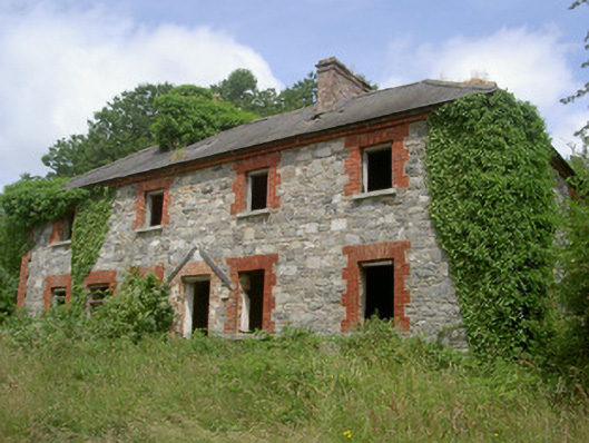 Dungooly Millmiller's house · 1.1 mi
 Dungooly Bridgebridge · 1.3 mi
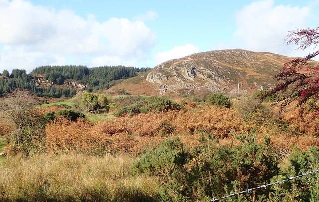 Mullaghbane MountainMountain / peak · 1.4 mi
 Ballsmill Amenity LandPicnic place · 1.7 mi
 Golf 30Fort · 2.3 mi