What is recorded here
Two stone lintels still protrude through Galway pastureland, marking entrances that may join beneath the grass. One belongs to the passage, the other to the cave listed beside it on the old map, and a collapsed stone pile lies near the second. Whether they form a single breathing tunnel or leave two separate holes in the earth remains unknown.
In pastureland. On the 1933 edition of the OS 6-inch map the terms ‘Man-made underground passage’ (GA104-256001-)and ‘Cave’ (GA104-256001-) are written beside two small circles, c. 15m apart. A protruding roof lintel is all that is evident at the point marked ‘Man-made underground passage’. Of the ‘Cave’ to the N, another protruding roof lintel is evident, c. 8.4m to the W of which is a pile of collapsed stones. Possibly one Man-made underground passage but it was not possible to determine if both elements are interconnected. (McCaffrey 1952, 248, no. 9)
Compiled by: Galway Archaeological Survey, UCG
Date of upload: 15 October 2019
The monument record does not grant public access. Check the route and ask the landowner before entering private land.
- What survives
- Recorded monument
Places near here
 LisdooFairy fort / stone ringfort · 257 yd
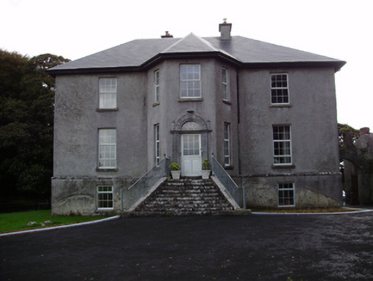 Aggard Housecountry house · 575 yd
 LissataggartFairy fort / earthen ringfort · 657 yd
 Roo Castle (in ruins)Castle, tower house · 1294 yd
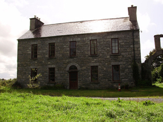 Kilquain Househouse · 1588 yd
 CarnanthomasCastle, unclassified · 1.2 mi
 Moyard WoodWood · 3.6 mi
 Kilcornan ForestWood · 5.0 mi
 Drumharsna CastleHeritage attraction · 6.5 mi
 MweenisharanIslet · 8.3 mi
 IllananireyIslet · 9.4 mi
 Mweenish PointHeadland · 9.4 mi