What is recorded here
Claragh holds a man-made underground passage and possibly a rath, revealing that people shaped the landscape long before modern cameras or official borders. The distinction between a simple tunnel and a fortified dwelling still hesitates in the description, giving the place an edge of mystery. Someone dug, built or entered that ground with purpose, while later observers preserved only the shape of what remained.
The official Northern Ireland record identifies this as Man-made underground passage & possibly Rath. Recorded period: E.CHRIST.. The official map point was placed at the centre of the recorded archaeological site from the source map reference.
The monument record does not grant public access. Check the route and ask the landowner before entering private land.
- What survives
- Recorded monument
Places near here
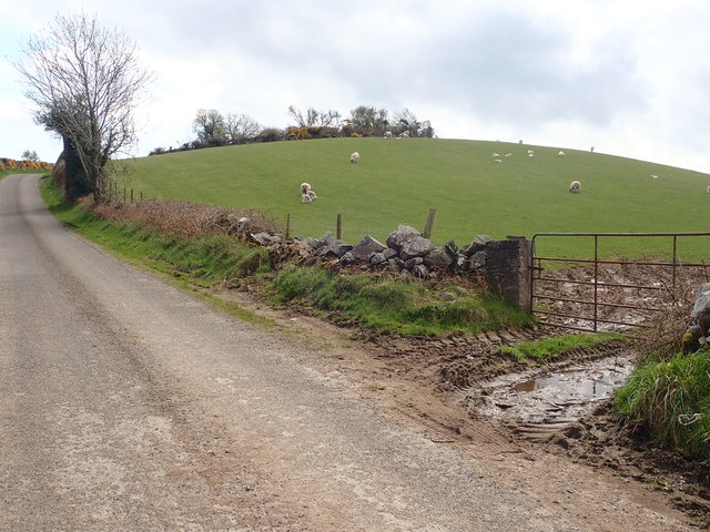 PLATFORM RATH: SAVAGE'S FORT in MoneycarraghPLATFORM RATH: SAVAGE'S FORT · 1094 yd
 White's FortArchaeological place · 1.0 mi
 CHURCH: DRUMCATH in DrumcawCHURCH: DRUMCATH · 1.1 mi
 CHURCH: RATHCATH (unlocated) in CloughCHURCH: RATHCATH (unlocated) · 1.8 mi
 Clough CastleCastle · 2.0 mi
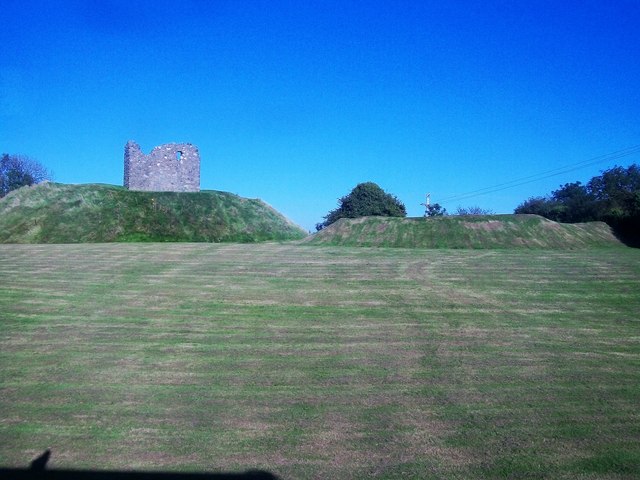 MOTTE & BAILEY AND TOWER-HOUSE: CLOUGH CASTLE in CloughMOTTE & BAILEY AND TOWER-HOUSE: CLOUGH CASTLE · 2.0 mi
 Clarkhill WoodForest · 2.1 mi
 SlievehannyMountain / peak · 2.2 mi
 Seaforde Woodland WalkWalking route · 2.2 mi
 Man-made underground passageCave · 2.4 mi
 SpinkaneeCliff · 2.5 mi
 Clonvaraghan MountainMountain / peak · 2.6 mi