
What is recorded here
The official Northern Ireland record identifies this as CHURCH: DRUMCATH. Recorded period: MEDIEVAL. The official map point was placed at the centre of the recorded archaeological site from the source map reference.
A local church or high cross; wider significance not recorded.
The monument record does not grant public access. Check the route and ask the landowner before entering private land.
- What survives
- Recorded monument
Places near here
 CHURCH: RATHCATH (unlocated) in CloughCHURCH: RATHCATH (unlocated) · 1.0 mi
 Seaforde Woodland WalkWalking route · 1.1 mi
 Clough Presbyterian ChurchChurch · 1.1 mi
 Clough CastleCastle · 1.2 mi
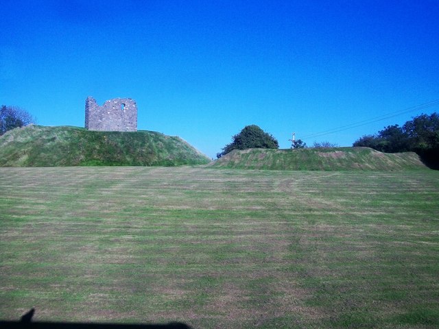 MOTTE & BAILEY AND TOWER-HOUSE: CLOUGH CASTLE in CloughMOTTE & BAILEY AND TOWER-HOUSE: CLOUGH CASTLE · 1.2 mi
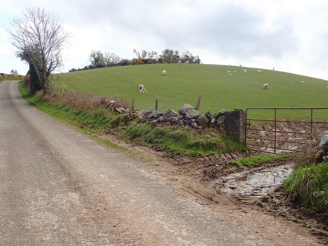 PLATFORM RATH: SAVAGE'S FORT in MoneycarraghPLATFORM RATH: SAVAGE'S FORT · 1.3 mi
 ENCLOSURE in ArdileaENCLOSURE · 1.7 mi
 Man-made underground passageCave · 2.3 mi
 Eleven Acres WoodForest · 2.6 mi
 Castle PathWalking route · 2.7 mi
 Dundrum CastleHeritage attraction · 2.8 mi
 Mourne Coastal Route: Dundrum Main StreetVisitor information · 2.9 mi
Other information
Photo: Credit not shown in the picture search · Rights wording not checked; contact us if this picture should be removed