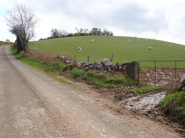
What is recorded here
One platform rose above the Moneycarragh fields, a fort built for sight and command. Men may have stood on that raised circle, watching roads, water and smoke while the land turned beneath them. Savage's Fort still keeps that shape, remembering the height people gave another when they needed to see further.
The official Northern Ireland record identifies this as PLATFORM RATH: SAVAGE'S FORT. Recorded period: E.CHRIST.. The official map point was placed at the centre of the recorded archaeological site from the source map reference.
The monument record does not grant public access. Check the route and ask the landowner before entering private land.
- What survives
- Recorded monument
Places near here
 White's FortArchaeological place · 1462 yd
 CHURCH: DRUMCATH in DrumcawCHURCH: DRUMCATH · 1.3 mi
 ENCLOSURESENCLOSURES, tree rings? · 1.5 mi
 CHURCH: RATHCATH (unlocated) in CloughCHURCH: RATHCATH (unlocated) · 1.5 mi
 Clough CastleCastle · 1.7 mi
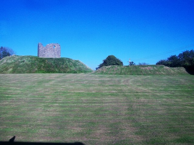 MOTTE & BAILEY AND TOWER-HOUSE: CLOUGH CASTLE in CloughMOTTE & BAILEY AND TOWER-HOUSE: CLOUGH CASTLE · 1.7 mi
 Man-made underground passageCave · 1.8 mi
 Castle PathWalking route · 2.1 mi
 Dundrum CastleHeritage attraction · 2.1 mi
 Mourne Coastal Route: Dundrum Main StreetVisitor information · 2.3 mi
 Seaforde Woodland WalkWalking route · 2.3 mi
 Clarkhill WoodForest · 2.4 mi
Other information
Photo: Eric Jones · Creative Commons Attribution-ShareAlike 2.0