What is recorded here
The official Northern Ireland record identifies this as Man-made underground passage (O.S. memoir site; unlocated). Recorded period: E.CHRIST.. The official map point was placed at the centre of the recorded archaeological site from the source map reference.
The monument record does not grant public access. Check the route and ask the landowner before entering private land.
- What survives
- Recorded monument
Places near here
 Former National SchoolHall · 136 yd
 Clock TowerClock Tower · 143 yd
 MODERN CHURCH on site of MEDIEVAL CHURCH: PORTCAMAN CHURCH in GlebeMODERN CHURCH on site of MEDIEVAL CHURCH: PORTCAMAN CHURCH · 531 yd
 A.P. SITE: ENCLOSURE (possibly tree ring) in Clogher AndersonA.P. SITE: ENCLOSURE (possibly tree ring) · 574 yd
 Old Bushmills DistilleryHeritage attraction · 693 yd
 Runkerry BeachVisitor information · 1657 yd
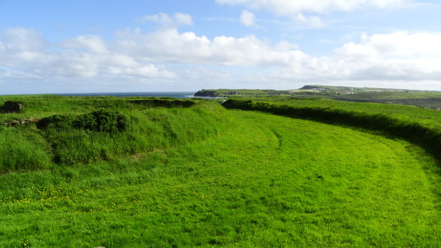 Lissanduff EarthworksNature reserve · 1701 yd
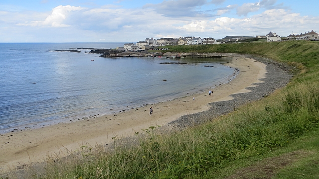 Portballintrae BeachBeach / strand · 1.1 mi
 Runkerry Stand (Bushfoot)Beach / strand · 1.2 mi
 ROUND CAIRN: CARNKIRK CASTLE in CarnkirkROUND CAIRN: CARNKIRK CASTLE · 1.3 mi
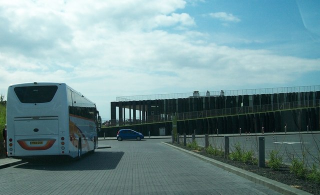 Giant's Causeway Visitor ExperienceMuseum · 1.8 mi
 CASTLE (destroyed): FLOWER HILL HOUSE in Flower HillCASTLE (destroyed): FLOWER HILL HOUSE · 2.0 mi