What is recorded here
Choked earth and forgotten stone hide a curved throat inside the southern rampart of the Cork ringfort. It may have served as a cellar, a refuge or a boundary marker, but the blocked entrance denies it to every hand that has grabbed for understanding. The passage still curves through the dark, waiting for the day someone digs through the choking dirt and hears its own shape return.
In SW quadrant of ringfort (CO061-123001-). Hartnett (1939, 236) noted 'running concentrically, inside the inner rampart to the south, there is what appears to be an extended underground passage. The opening is completely choked up'. No visible surface trace.
The above description is derived from the published 'Archaeological Inventory of County Cork. Volume 3: Mid Cork' (Dublin: Stationery Office, 1997). In certain instances the entries have been revised and updated in the light of recent research.
Date of upload/revision: 14 January 2009
The monument record does not grant public access. Check the route and ask the landowner before entering private land.
- What survives
- Recorded monument
Places near here
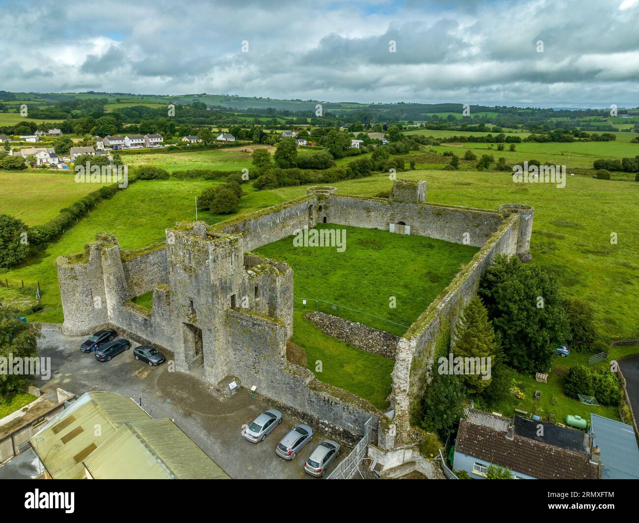 Enclosure in AgharinaghEnclosure · 477 yd
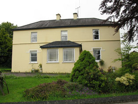 Greenhall Acresfarm house · 868 yd
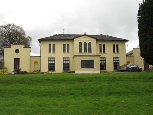 Meeshal Housecountry house · 955 yd
 Anomalous stone group in AgharinaghAnomalous stone group · 981 yd
 Carrignamuck Tower HouseCastle · 1303 yd
 Oldcastle WoodWood · 2.1 mi
 Coachford Greenway (End)Visitor information · 2.1 mi
 Farran WoodWood · 2.5 mi
 Bob AdamsMemorial · 2.7 mi
 Ballyanly Inniscarra Slí na SláinteWalking route · 2.7 mi
 Old Mansion HoCastle, Anglo-Norman masonry castle · 2.8 mi
 Sunday's WellSpring · 3.8 mi