
What is recorded here
In pasture, on gentle W-facing slope. Mentioned by D.J. O'Sullivan (1955, 1). Two upright, roughly parallel, sandstones slabs 1.52m apart. Most northerly stone measures H 1.25m; 0.82m x 0.22 (long axis WNW-ESE); second stone measures H 0.95m; 1.2m x 0.34m (long axis ENE-WSW). Boulder (H 0.83m; 0.68m x 0.94m) lies embedded 0.62m S of second stone. Slab (L.45m) leans against the most northerly stone; yet another slab (L 1.17m) lies immediately to E; according to local information, these were originally one stone which rested atop the two uprights and has since broken. Slight mound (H 0.3m) around stones possibly result of erosion by cattle and dumping of small field clearance stones.
The above description is derived from the published 'Archaeological Inventory of County Cork. Volume 3: Mid Cork' (Dublin: Stationery Office, 1997). In certain instances the entries have been revised and updated in the light of recent research.
Date of upload/revision: 14 January 2009
The monument record does not grant public access. Check the route and ask the landowner before entering private land.
- What survives
- Recorded monument
Places near here
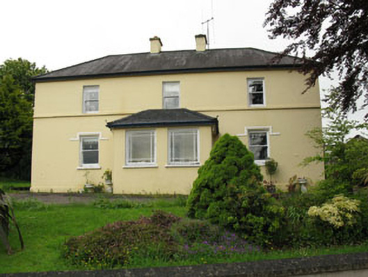 Greenhall Acresfarm house · 371 yd
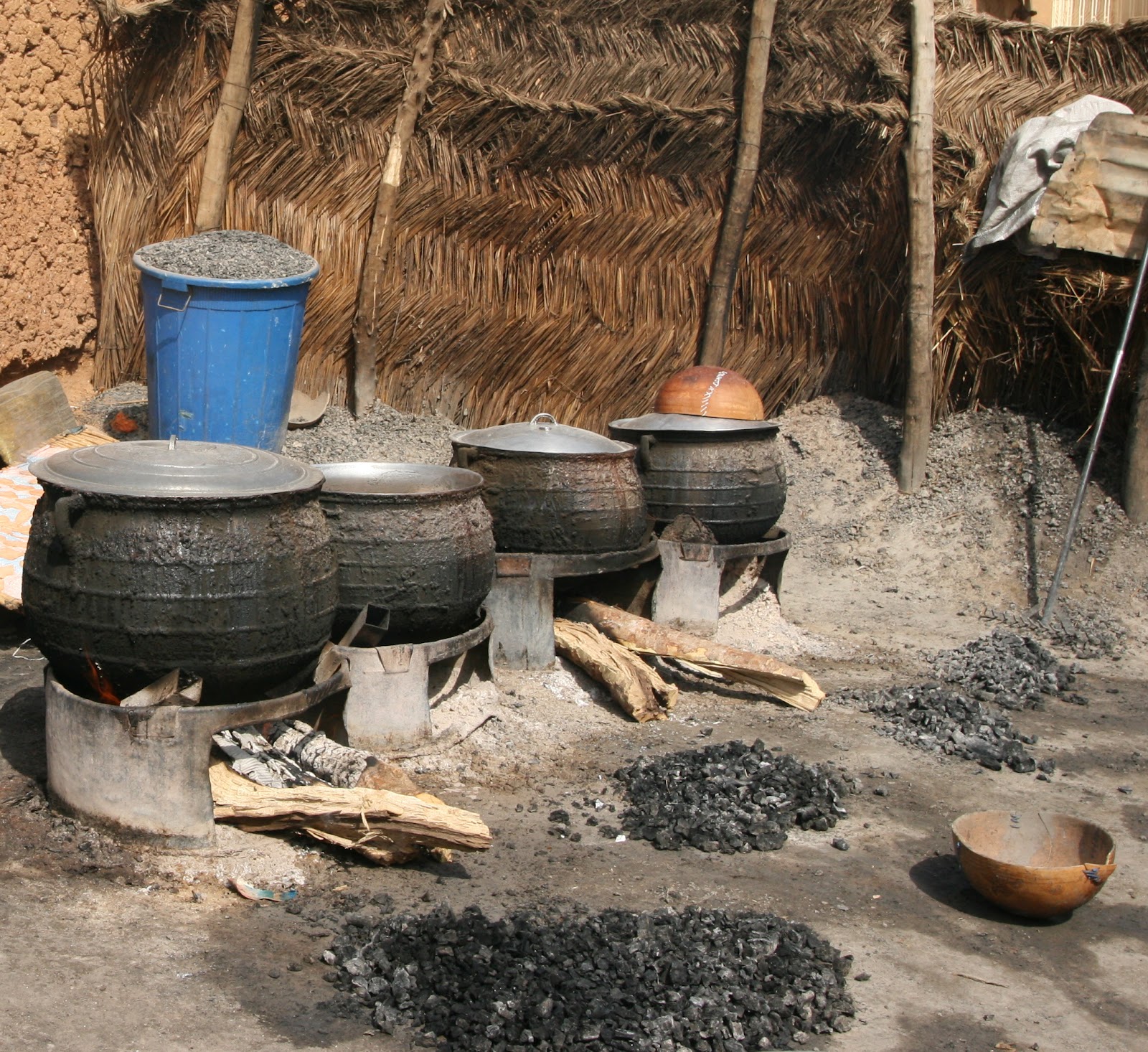 Fulacht Fiadh (Site of)Fulacht fia · 493 yd
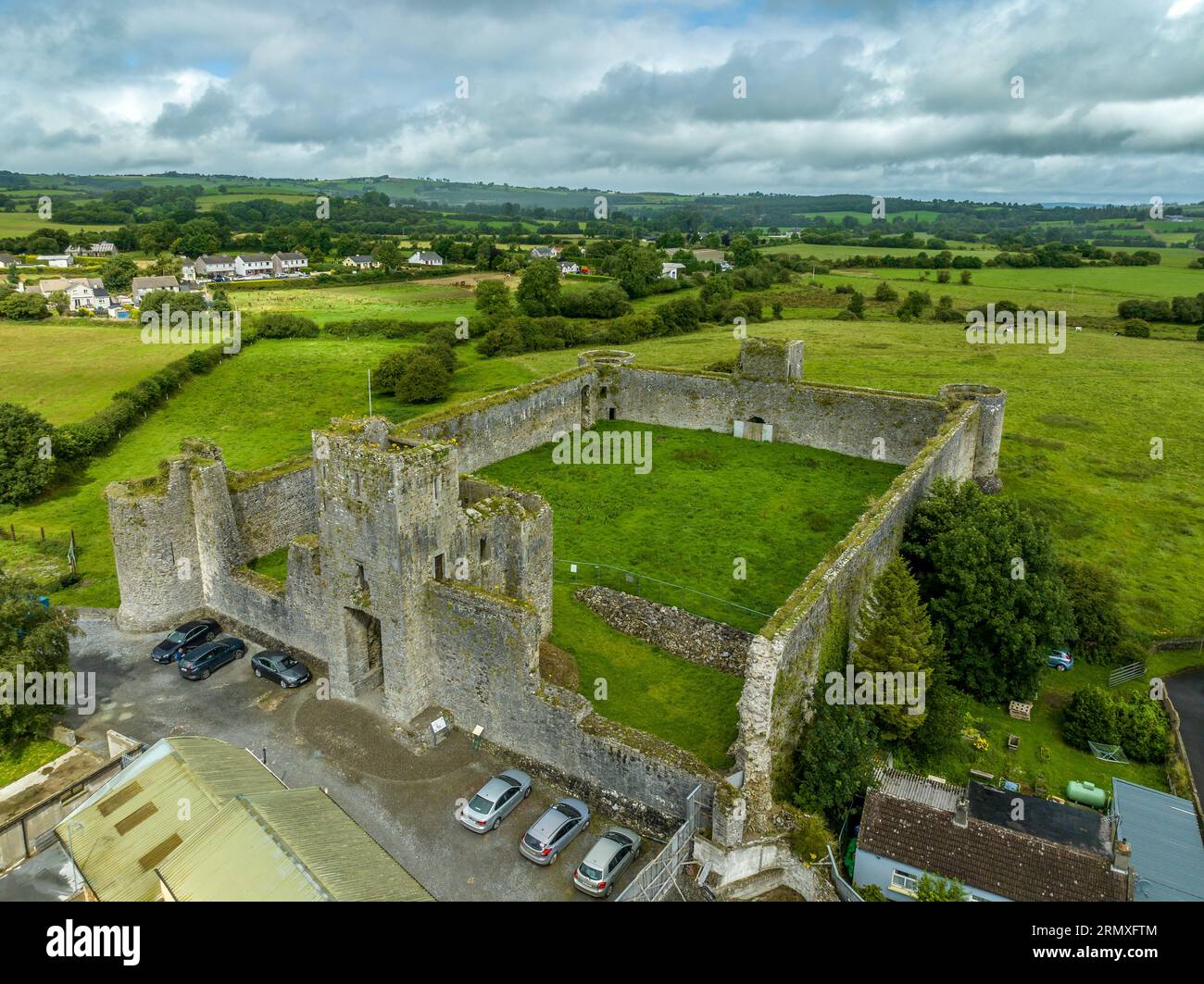 Enclosure in AgharinaghEnclosure · 544 yd
 Dripsey Bridgebridge · 854 yd
 Carrignamuck Tower HouseCastle · 1574 yd
 Coachford Greenway (End)Visitor information · 1.6 mi
 Farran WoodWood · 2.0 mi
 Old Mansion HoCastle, Anglo-Norman masonry castle · 2.3 mi
 Bob AdamsMemorial · 2.4 mi
 Oldcastle WoodWood · 2.4 mi
 Ballyanly Inniscarra Slí na SláinteWalking route · 2.8 mi
 Sunday's WellSpring · 3.4 mi
Other information
Photo: Credit not shown in the picture search · Rights wording not checked; contact us if this picture should be removed