What is recorded here
Located within a rath (MA081-002001-). A Man-made underground passage is indicated in the NE quadrant of a rath on the 1919 OS 6-inch map. Both the Man-made underground passage and the rath were destroyed when the ridge on which they were located was quarried away.
Compiled by: Jane O’Shaughnessy
Date of upload: 7 December 2021
The monument record does not grant public access. Check the route and ask the landowner before entering private land.
- What survives
- Recorded monument
Places near here
 IndicatedFairy fort / earthen ringfort · 23 yd
 Kilkelly ChurchChurch · 585 yd
 East Mayo Brigade MonumentMemorial · 934 yd
 TobercoghlanHoly well · 1.1 mi
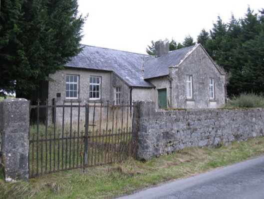 Saint Patrick's National Schoolschool · 1.6 mi
 Rath Castle in ruinsCastle, tower house · 2.0 mi
 CastleCastle, unclassified · 3.9 mi
 Thorn CaveCave · 5.8 mi
 Knock ShrineHeritage attraction · 6.0 mi
 Knock MuseumMuseum · 6.0 mi
 I'll Send You The FareMemorial · 6.4 mi
 Bockagh HillMountain / peak · 11 mi