What is recorded here
Beneath the coniferous plantation near the Barranahown River lies a small stone chamber, perhaps three feet high and eight feet long, waiting in darkness. A landowner recalled entering that tight space before removing stones in the mid-1980s, suggesting the passage still holds its shape beneath modern trees. It remains an unmarked neighbour to older standing stones, inviting wonder about who built it and what they kept from the light.
In modern coniferous forest plantation, 55m E of Barranahown River that forms townland boundary with Moorestown. An enclosure (LI048-065001) and three standing stones (LI048-065002/004-) lie 200m to the NE. Not marked on 1840 ed. OSi 6-inch map and 1897 ed. 25-inch map. Annotated ‘Man-made underground passage’ on the Cassini ed. OSi 6-inch map where it is depicted as a small rectangular shaped area. In 1998 O’Leary (SMR File) recorded from the landowner that he had ‘removed stones 10 to 15 years ago [c. 1985], he went into the single chamber in the stone wall structure circa 3 [0.9] to 4 feet [1.2m] in height, 4 feet [1.2m] wide and 6 [1.8m] to 8 feet [2.4m] long.’ Site of Man-made underground passage visible as a small area of unplanted trees surrounded by forestry plantation on Digital Globe orthoimage taken between 2011-13 and on Google Earth orthoimages.
See attached photograph of Mr. Hennessy taken in 1998 by P. O’Leary and Google Earth orthoimages.
Compiled by: Fiona Rooney
Date of upload: 19 August 2021
The monument record does not grant public access. Check the route and ask the landowner before entering private land.
- What survives
- Recorded monument
Places near here
 Mote, HachuredMound · 447 yd
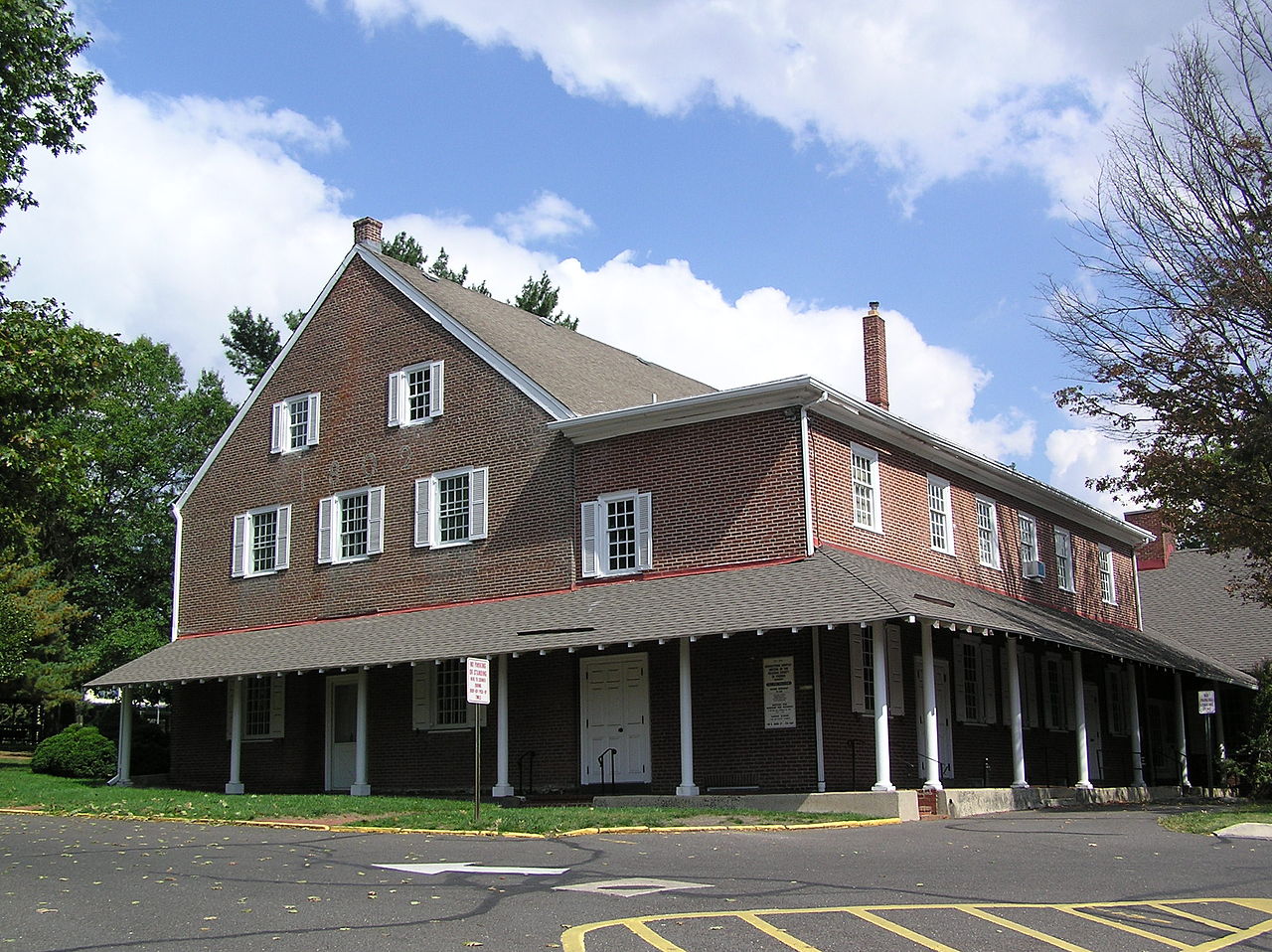 Moorestown Fort, hachuredFairy fort / earthen ringfort · 651 yd
 Bosnetstown Villahouse · 1322 yd
 Palatine's RockNamed rock · 1348 yd
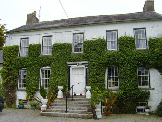 Spring Lodgecountry house · 1381 yd
 Ballyhoura WayWalking route · 1.0 mi
 Castle (in ruins)Castle, tower house · 1.1 mi
 Treada Na Ríogh (The Moat), hachuredCastle, motte · 1.2 mi
 Ballyhoura tourist informationVisitor information · 1.2 mi
 Ballinvreena LoopVisitor information · 1.6 mi
 SlievereaghMountain / peak · 1.9 mi
 Keale MountainMountain / peak · 2.8 mi