What is recorded here
A Man-made underground passage consisting of two beehive chambers and a passage was recorded near Whitfield close to the old Portlaw road (Ryland 1824, 267-8; Lewis 1837, vol. 2, 286).
Lewis, S. (1837) A topographical dictionary of Ireland. 2 vols. Lewis and Co. London.
Ryland, Rev. R. H. (1824) The History, topography and antiquities of the county and city of Waterford. John Murray. London.
The above description is derived from the published 'Archaeological Inventory of County Waterford' (Dublin: Stationery Office, 1999). In certain instances the entries have been revised and updated in the light of recent research.
Date of upload/revision: 23 December 2008
The monument record does not grant public access. Check the route and ask the landowner before entering private land.
- What survives
- Recorded monument
Places near here
 The Harp StoneArchaeological place · 343 yd
 Embanked enclosureFairy fort / ringfort · 723 yd
 Chruch (in ruins)Church · 1037 yd
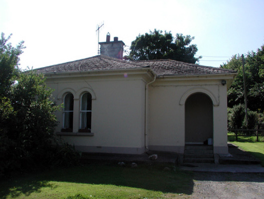 Whitfield Housegate lodge · 1514 yd
 Site of CastleCastle, unclassified · 1.2 mi
 Mote or TumulusCastle, motte · 1.2 mi
 Mount Congreve GardensHeritage attraction · 1.3 mi
 Monterey CypressMonterey Cypress · 1.4 mi
 Sweet micheliaSweet michelia · 1.4 mi
 Sugar Loaf RockMountain / peak · 1.7 mi
 Waterford & Suir Valley RailwayHeritage attraction · 2.4 mi
 Ballyscanlon HillMountain / peak · 3.9 mi