What is recorded here
In the 1920s, a Man-made underground passage was discovered on a farm that belonged to Sullivans c. 6 miles [9.65km] from Bantry in the vicinity of Durrus (NMI file). A large flagstone with 'peculiar marks' on it was found by Jack Foley while working in a field. Beneath the stone were steps leading down to a cave or 'cellar' but it was filled with water and could not be explored. The precise location of this possible Man-made underground passage is not known and local enquiries in the Durrus area in 2004 failed to establish any information about it. There is a Man-made underground passage (CO130-044----), which was open in the 1950s, in the townland of Clashadoo c. 1.6km W of Durrus but it could not be established if this was the same as that recorded in the NMI file.
The above description is derived from 'The Archaeological Inventory of County Cork. Volume 5' (Dublin: Stationery Office, 2009).
Date of upload: 22 December 2009
The monument record does not grant public access. Check the route and ask the landowner before entering private land.
- What survives
- Recorded monument
Places near here
 Man-made underground passage in DunbeaconMan-made underground passage · 1165 yd
 Promontory fortPromontory fort, coastal · 1617 yd
 Dunbeacon Castle (in Ruins)Castle, tower house · 1620 yd
 Rossmore Lodgehouse · 1.2 mi
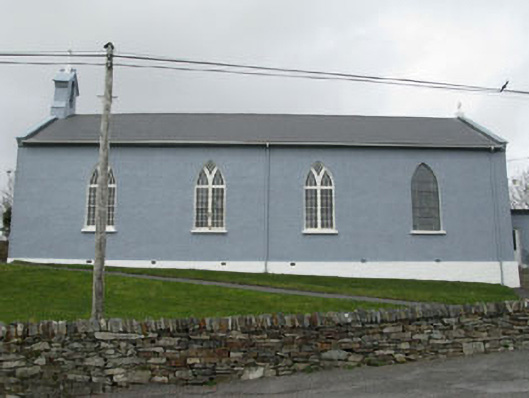 St. Patrick's Roman Catholic Churchchurch/chapel · 1.4 mi
 Mannion's Island (Large)Islet · 1.5 mi
 Air India Flight 182 Crash MemorialMemorial · 1.5 mi
 Rossmore Castle (in Ruins)Castle, tower house · 1.5 mi
 Mannion's Island (Small)Islet · 1.6 mi
 Glanlough LoopWalking route · 1.9 mi
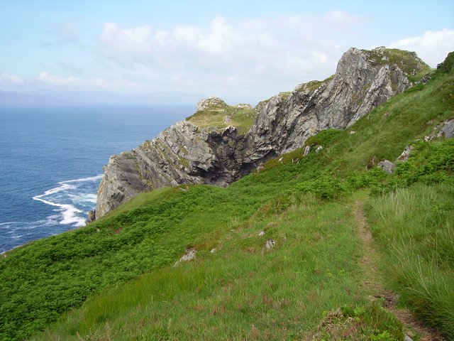 Sheep's Head WayWalking route · 2.1 mi
 GouladaneMountain / peak · 2.2 mi