What is recorded here
Thirty-two feet of narrow stone throat stretch north beneath Tullyarvan, forcing anyone who crawls inside to face the vanished cashel before loose soil stops the journey. Two smaller branches cut west at different depths, creating a buried maze where human breath may have echoed for centuries before modern buildings swallowed the landscape. The passage does not pretend to be natural; its drystone walls and flagstone roof announce deliberate craft, yet they hide the larger story beneath a slight depression in level ground.
A curving modern wall seems to reflect the W section of a destroyed cashel (DG029-019001-). The interior is level except for a slight depression said to be the N end of a Man-made underground passage which can be entered from outside the enclosure area to the S. The Man-made underground passage consists of a main passage extending 7m N towards the cashel before being blocked by loose stones and soil. The walls are of drystone construction and the roof consists of 9 flagstones. It is 1m wide and 0.8m high. It is entered by an aperture .33m × 0.65m now blocked by stones. 2.3m from this entrance a passage .55m wide × 0.4m high turns to the W. It is roofed by 4 flags and extends 3m before being blocked. A second passage 5.6m from the present entrance and also leading W is .65m wide and 0.25m high. Two flagstones roof the passage which is likewise blocked at 2m. The site is located on high ground sloping to the S and W but now much built-over.
The above description was derived from the 'Archaeological Survey of County Donegal. A description of the field antiquities of the County from the Mesolithic Period to the 17th century.' Compiled by: Brian Lacey with Eamon Cody, Claire Cotter, Judy Cuppage, Noel Dunne, Vincent Hurley, Celie O'Rahilly, Paul Walsh and Seán Ó Nualláin (Lifford: Donegal County Council, 1983). In certain instances the entries have been revised and updated.
Date of upload: 22 September 2008
The monument record does not grant public access. Check the route and ask the landowner before entering private land.
- What survives
- Recorded monument
Places near here
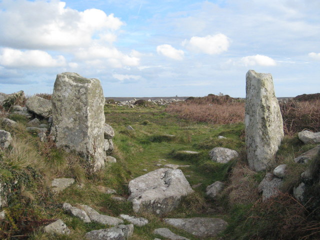 Tullyarvan Stone Ringfort and Man-made underground passageFairy fort / stone ringfort · 1 yd
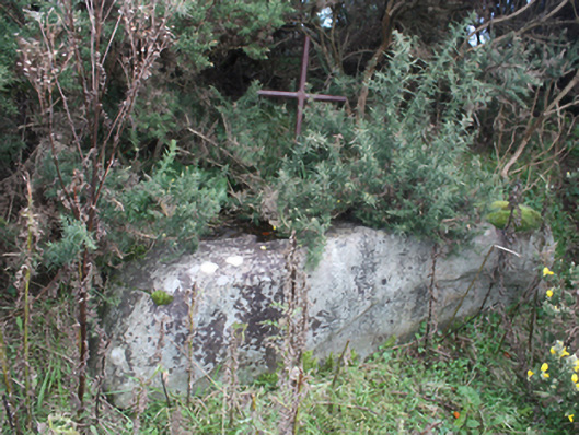 mass rockmass rock · 409 yd
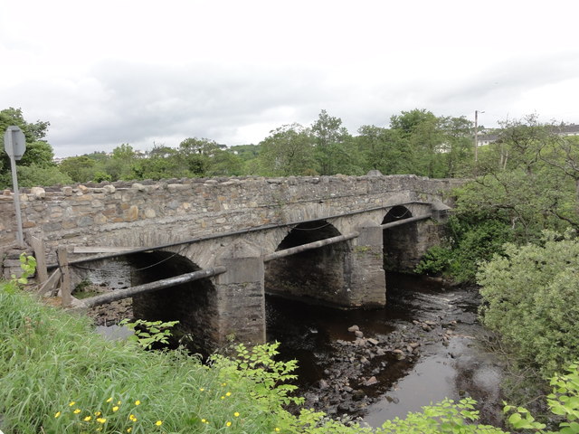 Cockhill Bridgebridge · 462 yd
 Ballymagan Fairy FortFairy fort / earthen ringfort · 958 yd
 O'Doherty's KeepCastle · 1.1 mi
 Neds Point FortFort · 1.3 mi
 Lady's Bay, BuncranaOfficial bathing water · 1.6 mi
 Stragill BeachBeach / strand · 1.6 mi
 Slieve MainMountain / peak · 4.4 mi
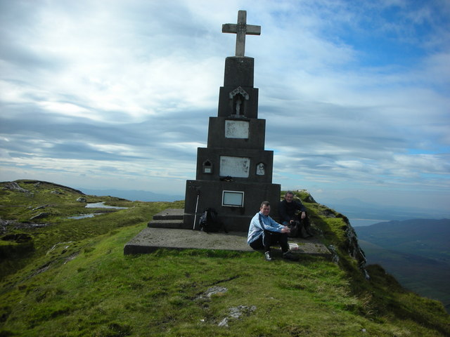 BulbinMountain / peak · 5.0 mi
 Brown’s PointHeadland · 5.0 mi
 Saldána GalleryGallery · 5.1 mi