What is recorded here
Tonyhull rath in County Cavan, Ireland holds a wide shallow depression eight point seven metres long, three metres wide and one point zero five metres deep. The hollow extends into the interior from the western bank, perhaps marking a man-made underground passage. People may have dug through solid earth to reach hidden chambers, store treasure or escape danger. The soil still keeps the shape of that forgotten effort.
At Tonyhull rath (CV022-033001-). A wide, shallow depression (L 8.7m; Wth 3m D 1.05m) extending into the interior from the bank at WNW may mark the site of a Man-made underground passage.
The above description is derived from the published 'Archaeological Inventory of County Cavan' (Dublin: Stationery Office, 1995). In certain instances the entries have been revised and updated in the light of recent research.
Date of upload/revision: 22 December 2008
The monument record does not grant public access. Check the route and ask the landowner before entering private land.
- What survives
- Recorded monument
Places near here
 Kilmount Presbyterian Churchchurch/chapel · 1587 yd
 Holy WellHoly well · 1.3 mi
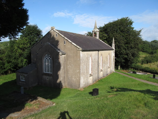 Dernakesh Church of Ireland Churchchurch/chapel · 1.3 mi
 IndicatedFairy fort / earthen ringfort · 1.5 mi
 DrumbinnisMountain / peak · 1.6 mi
 CornanurneyMountain / peak · 1.6 mi
 Cornanurney ForestForest · 1.8 mi
 Giants GraveArchaeological place · 1.9 mi
 Graveyard in Drumgoon (clankee By.)Graveyard · 2.1 mi
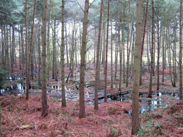 Lisdoagh Wet WoodlandWood · 2.8 mi
 Small IslandIsland · 3.5 mi
 CastleCastle, unclassified · 3.8 mi