What is recorded here
This site appears on the 1841-42 OS map as a circular enclosure. On the later edition of 1916 OS map 'cave' [probably indicating a Man-made underground passage] is marked in the interior, though the site would appear to be levelled on the N to E sectors. No surface trace survives.
The above description is derived from C. Toal, ‘North Kerry Archaeological Survey’. Dingle. Brandon in association with FAS Training and Employment Authority (1995), no. 591. In certain instances the entries have been revised and updated in the light of recent research.
Date of revision: 1 October 2013
The monument record does not grant public access. Check the route and ask the landowner before entering private land.
- What survives
- Recorded monument
Places near here
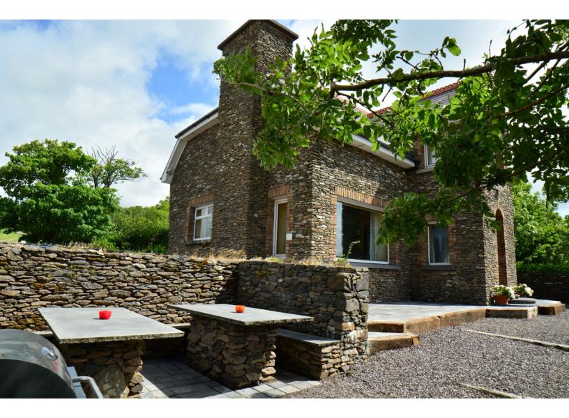 Enclosure in KilbrickaneEnclosure · 395 yd
 CaherneadArchaeological place · 821 yd
 Ballymacaquinn Castle (remains of)Castle · 1181 yd
 Abbeydorney Monastery (in ruins)Religious house, Cistercian monks · 1.5 mi
 Church in Kilcooly NorthChurch · 1.5 mi
 Tobar na MoltSpring · 3.5 mi
 Kilflynn Nature ReserveNature reserve · 3.7 mi
 Castle (in ruins)Castle, unclassified · 3.7 mi
 Ardfert Franciscan FriaryVisitor information · 4.0 mi
 Ardfert FriaryVisitor information · 4.0 mi
 15th Centenary of the birth of St-BredanMemorial · 4.3 mi
 Ardfert CathedralHeritage attraction · 4.3 mi