What is recorded here
Situated on top of a natural in undulating grassland with boundary of Turin R. C. Chapel built on E quadrant of ringfort as depicted on the 1838 ed. OS 6-inch map. A stream located 35m to S marks the townland boundary with Killynan. Remains consist of a platform ringfort (WM013-089---) with traces of four possible hut sites (WM013-089001-/089002-/089003-/089004-) and a possible collapsed Man-made underground passage (WM013-089005-). A curving depression, possibly representing the remains of a collapsed Man-made underground passage, is visible in the NE quadrant of the interior of the ringfort (WM013-089---), on the S side of 2 possible hut sites (WM013-089001-/002-).
Compiled by: Frank Coyne and Caimin O'Brien
Date of upload: 24 July 2018
The monument record does not grant public access. Check the route and ask the landowner before entering private land.
- What survives
- Recorded monument
Places near here
 Saint Joseph's Catholic Churchchurch/chapel · 42 yd
 Chapel in ruinsChapel · 302 yd
 Partially hachuredFairy fort / earthen ringfort · 502 yd
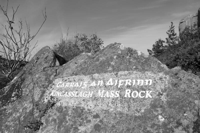 Mass-rock in TevrinMass-rock · 587 yd
 OutlinedCastle, unclassified · 1.0 mi
 GinkgoGinkgo · 1.3 mi
 Site of Fennor CastleCastle, tower house · 1.5 mi
 KnockeyonMountain / peak · 5.7 mi
 The FurzeForest · 6.1 mi
 Kells HillMountain / peak · 9.0 mi
 Croppies' GraveMemorial · 12 mi
 Hut site in Balrath North (moyashel & Magheradernon By.)Hut site · 871 yd