What is recorded here
The following description is derived from both the published 'Archaeological Inventory of County Louth' (Dublin: Stationery Office, 1986) and the 'Archaeological Survey of County Louth' (Dublin: Stationery Office, 1991). In certain instances the entries have been revised and updated in the light of recent research.
Date of upload/revision: 17 July 2007
Located 40m N of the ruins of Stickillin church (LH017-015001-) in an open field. Sections of one or possibly two drystone-built Man-made underground passages. NE section of Man-made underground passage consists of a passage (L 3.5m, Wth 0.6m, H 0.8m) aligned NNW-SSE, which bends NE then SE to form an expanded gallery (L 14m, Wth 2.2m, H 2m) which is also aligned NNW-SSE. A drystone built pillar supports a radial layout of lintels in mid-gallery, and may be evidence of a later repair owing to collapse. In the middle of the SW wall of the gallery a passage leads off SW, but is blocked by collapse. If projected, this would join up with the S section of Man-made underground passage, 13m distant.
The second section of Man-made underground passage consists of a passage (L 6.5m, Wth 0.8m, H 0.8m) running E-W, joining Passage 2 (L 6.5m, Wth 0.8m, H 1m) at the W end. Passage 2 runs N-S and turns W at the S end into Passage 3 (L 10m, Wth 0.8m, H 1m). Passage 3 terminates in a sub-circular chamber (L 3m, Wth 2m, H 1.5m). Passage 4 (L 16.5m, Wth 0.8m, H 1m) extends NNE from the chamber, then turns W, terminating in a beehive chamber (diam. 3m, H 1.7m). Both chambers in the second section of Man-made underground passage have air-vents leading off. (CLAJ 1976, 272-7)
The monument record does not grant public access. Check the route and ask the landowner before entering private land.
- What survives
- Recorded monument
Places near here
 Stickillin Church (in ruins)Church · 82 yd
 Graveyard in StickillinGraveyard · 93 yd
 IndicatedHoly well · 185 yd
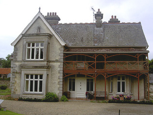 Stickillin Househouse · 210 yd
 Enclosure in StickillinEnclosure · 661 yd
 Dawsons MoatCastle, motte and bailey · 1641 yd
 Roodstown CastleCastle, tower house · 1.3 mi
 Sir Frederick Foster MemorialMemorial · 1.6 mi
 Lebanon CedarLebanon Cedar · 1.7 mi
 European BeechEuropean Beech · 1.7 mi
 Mount OrielMountain / peak · 4.6 mi
 Drummeenagh HillMountain / peak · 5.5 mi