What is recorded here
The following description is derived from both the published 'Archaeological Inventory of County Louth' (Dublin: Stationery Office, 1986) and the 'Archaeological Survey of County Louth' (Dublin: Stationery Office, 1991). In certain instances the entries have been revised and updated in the light of recent research.
Date of upload/revision: 17 July 2007
Section of drystone-built chamber (L 4m, Wth 1.6m, H 1.7m) aligned NNW-SSE. Blocked by collapse at SSE.
The monument record does not grant public access. Check the route and ask the landowner before entering private land.
- What survives
- Recorded monument
Places near here
 Abbey (in Ruins)Religious house, Franciscan friars · 738 yd
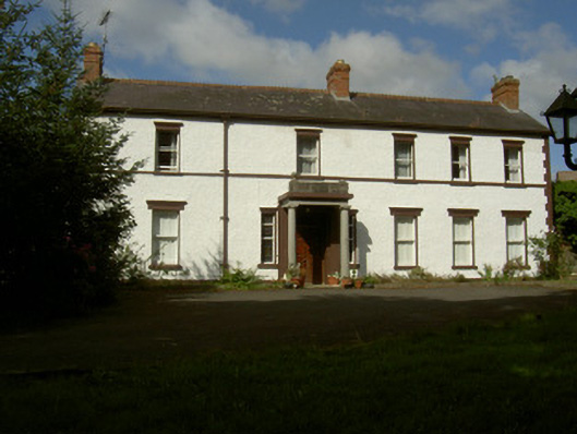 Rossmakeahouse · 756 yd
 Field system in Commons (dromiskin Par.)Field system · 973 yd
 Enclosure in DunmahonEnclosure · 1183 yd
 Dunmahon CastleCastle, tower house · 1526 yd
 MountCastle, motte and bailey · 1.2 mi
 Long WoodForest · 1.4 mi
 Broad WoodForest · 1.6 mi
 Viking BoatHeritage attraction · 2.3 mi
 Photo GalleryHeritage attraction · 3.9 mi
 Maid of ErinMemorial · 4.2 mi
 Bombing 1975Memorial · 4.2 mi