What is recorded here
The site lies on the E slopes of Carrickgollogan. The OS Letters (1837) refer to an underground passage to the NW of Rathmichael Church (DU026-050001-) (O'Flanagan 1927, 40). It is described as having stone sides and being covered with large flagstones. O'Brien (1988) has suggested a location c. 30m NW of the church where a wide trench (now covered) can be traced for a distance (L 7m) extending towards the cashel wall.
Compiled by: Geraldine Stout and Padraig Clancy.
Revised upload on: 15 April 2018.
The monument record does not grant public access. Check the route and ask the landowner before entering private land.
- What survives
- Recorded monument
Places near here
 Rathmichael ChurchChurch · 29 yd
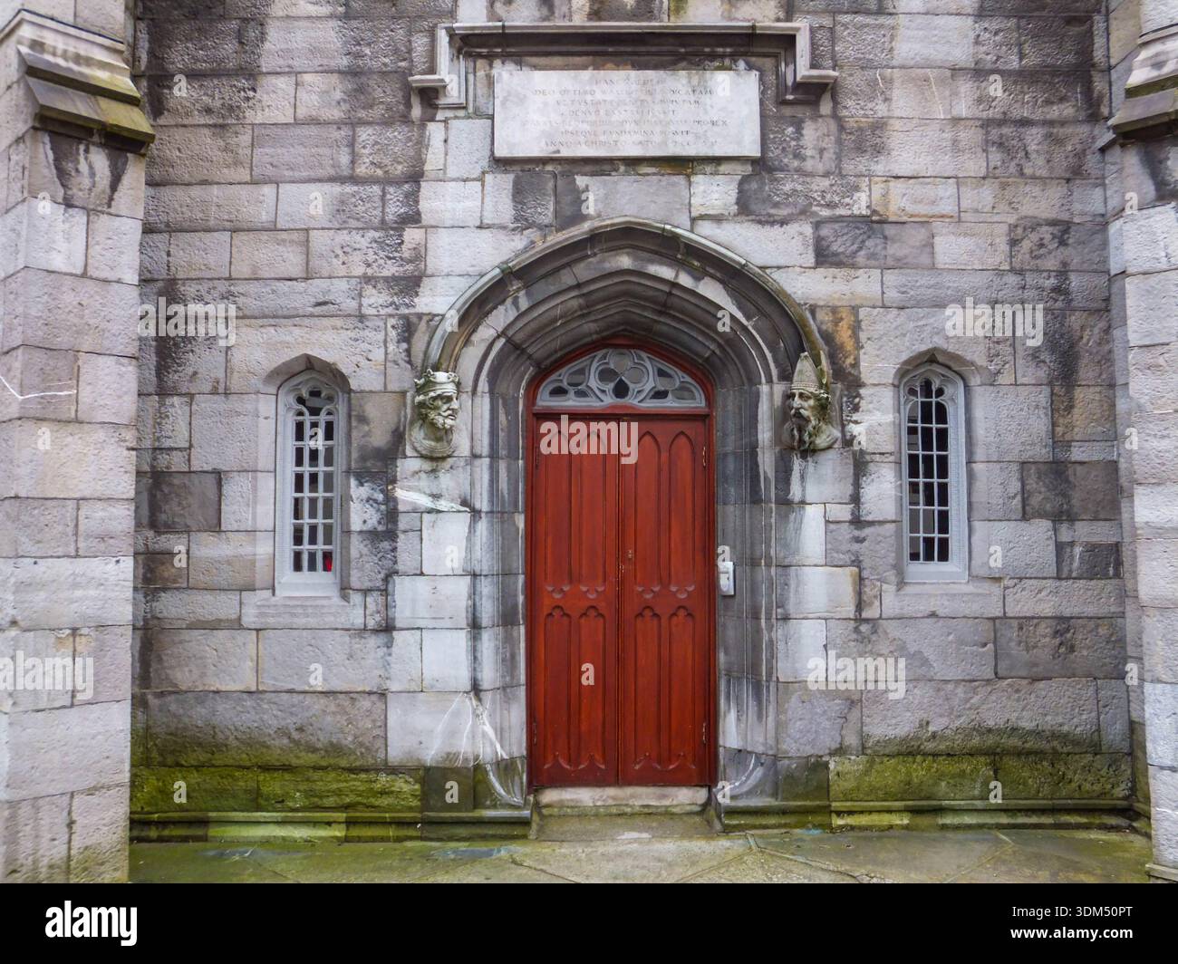 Ecclesiastical enclosure in RathmichaelEcclesiastical enclosure · 60 yd
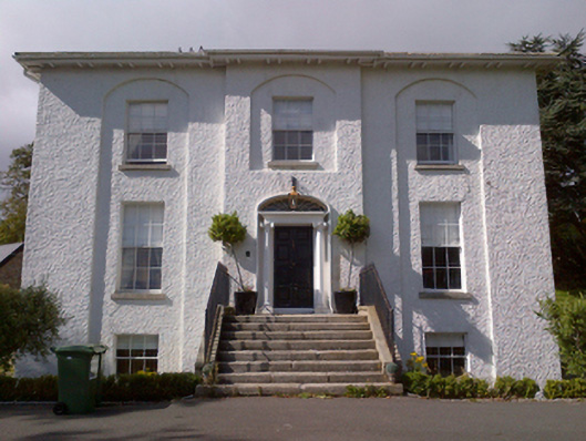 Shankill Housecountry house · 345 yd
 Cross (present location) in ShankillCross (present location) · 483 yd
 Rathmichael WalkWalking route · 501 yd
 Bawn in RathmichaelBawn · 660 yd
 Puck's CastleCastle · 665 yd
 Dublin Mountains Way Trailhead SignVisitor information · 1643 yd
 Loughlinstown WoodsNature reserve · 1.1 mi
 Carrickgollogan HillMountain / peak · 1.2 mi
 Monterey CypressMonterey Cypress · 1.4 mi
 Michael DavittMemorial · 1.6 mi