What is recorded here
Situated on top of a small gently rising hill, surrounded by gently undulating grassland, with excellent views in all directions. The Irishtown River which marks the boundary with Paddinstown Lower is 140m to S. A wide shallow depression (dims. 14.7m ENE-WSW; Wth 2.5m; D 1m) aligned ENE-WSW with a shorter depression (dims. 9m NNE-SSW; Wth 2.3m; D 1m), appear to represent the remains of a collapsed Man-made underground passage in the W quadrant of a ringfort (WM010-023---).
Compiled by: Frank Coyne and Caimin O'Brien
Date of upload: 9 June 2017
The monument record does not grant public access. Check the route and ask the landowner before entering private land.
- What survives
- Recorded monument
Places near here
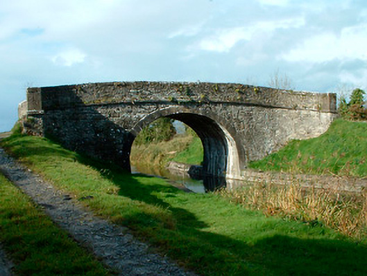 bridgebridge · 546 yd
 Kelly's Bridgebridge · 654 yd
 OutlinedFairy fort / earthen ringfort · 683 yd
 Partially hachuredFairy fort / earthen ringfort · 1399 yd
 Site of CastleCastle, unclassified · 1413 yd
 Bawn in EmperBawn · 2.1 mi
 Common LimeCommon Lime · 2.7 mi
 Abbeyshrule AbbeyRuins · 2.8 mi
 European BeechEuropean Beech · 3.0 mi
 Goldsmith Birthplace, PallasVisitor information · 4.8 mi
 Craft WorkshopHeritage attraction · 4.9 mi
 Guest ServicesVisitor information · 4.9 mi