What is recorded here
Proleek Acres in County Louth, Ireland, contains an L-shaped underground passage with one arm measuring nine metres and the other eleven metres. The angular layout suggests deliberate construction rather than natural collapse, possibly serving as a shelter, storage space or ritual path for people who lived near the earthwork. Its narrow width and sharp turn would have forced anyone inside to slow down, listen and feel the darkness before them.
The following description is derived from both the published 'Archaeological Inventory of County Louth' (Dublin: Stationery Office, 1986) and the 'Archaeological Survey of County Louth' (Dublin: Stationery Office, 1991). In certain instances the entries have been revised and updated in the light of recent research.
Date of upload/revision: 17 July 2007
Situated in interior of earthwork (LH004-070001-), shown as broad oval and marked'fort' on 1835 ed. of OS 6-inch map. The Man-made underground passage consists of two passages forming an L-shaped plan. Passage 1 (L 9m, Wth 1.2m) extends SE-NW, at NW end turning almost at right angles into Passage 2 (L 11m, Wth 1.5m) running N-S. (CLAJ 1942, 149-50)
The monument record does not grant public access. Check the route and ask the landowner before entering private land.
- What survives
- Recorded monument
Places near here
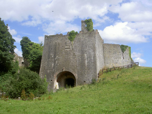 Proleek Lime Workskiln · 239 yd
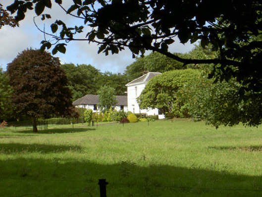 Aghnaskeagh Househouse · 530 yd
 Man-made underground passage in AghnaskeaghMan-made underground passage · 609 yd
 Enclosure in BroughattinEnclosure · 808 yd
 Proleek DolmenArchaeological place · 1249 yd
 CastleCastle, tower house · 1.2 mi
 Battle of FaughartMajor battlefield · 1.3 mi
 Faughart MoundCastle, motte · 1.4 mi
 Trumpet HillMountain / peak · 1.7 mi
 Feede MountainMountain / peak · 1.7 mi
 KILNASAGGART INSCRIBED PILLAR STONE & CEMETERY with 6 CROSS-CARVED STONES: CELL NA SACART in EdenappaKILNASAGGART INSCRIBED PILLAR STONE & CEMETERY with 6 CROSS-CARVED STONES: CELL NA SACART · 2.0 mi
 Moyry CastleCastle · 2.1 mi