What is recorded here
In the N half of a cashel (SL020-008002-). An L-Shaped sunken depression (L 8.5m; max. Wth 2.5m; D c. 0.5m) extends from N of centre to the enclosing wall of the cashel at NW. It may be a collapsed Man-made underground passage.
Compiled by: Jane O'Shaughnessy
Date of upload: 16 April 2014
The monument record does not grant public access. Check the route and ask the landowner before entering private land.
- What survives
- Recorded monument
Places near here
 Enclosure in SeafieldEnclosure · 287 yd
 Church (in Ruins)Church · 456 yd
 Enclosure in Grange EastEnclosure · 484 yd
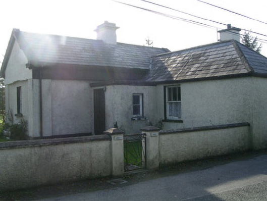 Lisheengate lodge · 632 yd
 Castle (in Ruins)Castle, unclassified · 986 yd
 The GlenWood · 1190 yd
 CarrigeenfaddaIslet · 1649 yd
 Knocknarea trailWalking route · 1.1 mi
 KnocknareaMountain / peak · 1.4 mi
 Carrowmore Visitors CentreVisitor information · 1.5 mi
 Carrowmore Megalithic CemeteryHeritage attraction · 1.6 mi
 Derinch PointHeadland · 2.0 mi