What is recorded here
Two narrow, nine-metre hollows still cut through the northern half of the Monacow ringfort, bending like a forgotten path rather than a random ditch. They sit half a metre deep, choked with grass and scattered limestone boulders that may have fallen from their own hidden walls. People likely dug them to keep out rain, cold or enemies, yet they have surrendered so much of their shape that they now read more like a dream of rooms than a working passage.
In N half of a ringfort (GA030-098----). It consists of two contiguous overgrown rectangular hollows (each L c. 9m, Wth 2.1m) averaging 0.5m in depth. The SE hollow follows a roughly E-W axis, while the NW hollow runs off on a NW-SE axis from its W end. Large amounts of limestone boulders were noted, possibly derived from collapsed side-walls.
The above description is derived from the published 'Archaeological Inventory of County Galway Vol. II - North Galway'. Compiled by Olive Alcock, Kathy de hÓra and Paul Gosling (Dublin: Stationery Office, 1999).
Date of upload: 05 August 2010
The monument record does not grant public access. Check the route and ask the landowner before entering private land.
- What survives
- Recorded monument
Places near here
 MonumentLeacht cuimhne · 1185 yd
 Knockavanny Housedemesne walls/gates/railings · 1341 yd
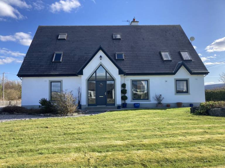 Man-made underground passage in Cartron (carrowrevagh Ed )Man-made underground passage · 1.2 mi
 Aghloragh Church (in ruins)Church · 1.3 mi
 Castle (in ruins)Castle, tower house · 1.3 mi
 Claddagh Castle (in ruins)Castle, tower house · 3.0 mi
 European ashEuropean ash · 5.1 mi
 Mass RockNamed rock · 6.7 mi
 KnockmaaWood · 8.4 mi
 Menlough IRAMemorial · 11 mi
 Castlemoyle Ho.House, 18th/19th century · 1.3 mi
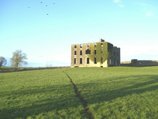 Castlemoyle Housecountry house · 1.3 mi