What is recorded here
Discovered c. 1824 'by a labourer who was trenching the ground and came upon one of the large flags on top' (Conwell 1864, 48). The original entrance has been disturbed and reconfigured by 19th century landscaping. The Man-made underground passage consists of an entrance passage which runs SW and incorporates a trap-door feature short of mid-way along its length (overall L c. 14m). The passage terminates in a T-junction. The right-hand passage runs NW and turns W in a dog-leg that incorporates another trap-door feature: this leads via a further passage to a beehive chamber (diam. 4m; H 2.6m). The left-hand passage runs SE for 14m and terminates in a beehive chamber (diam. 5.15m - 5.6m; H 2.9m). (Moore 1987, 53, No. 437; Clinton 1993)
Compiled by: Paul Walsh
Date of upload: 6 November 2012
The monument record does not grant public access. Check the route and ask the landowner before entering private land.
- What survives
- Recorded monument
Places near here
 MoatCastle, motte · 160 yd
 Zip WireHeritage attraction · 206 yd
 European YewEuropean Yew · 293 yd
 Common LimeCommon Lime · 332 yd
_-_geograph.org.uk_-_7213807.jpg?width=1280) Church (in Ruins)Church · 368 yd
Church (in Ruins)Church · 368 yd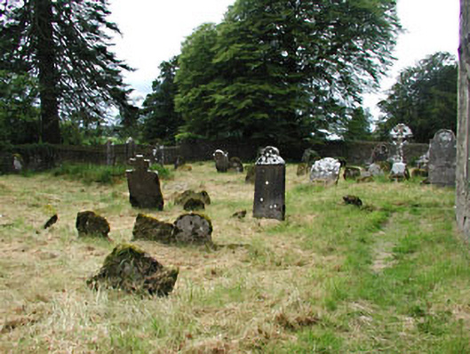 graveyard/cemeterygraveyard/cemetery · 369 yd
 RathFairy fort / earthen ringfort · 552 yd
 Fairy fort / earthen ringfort in LoughcrewFairy fort / earthen ringfort · 1243 yd
 C11Named rock · 1372 yd
 Carnbane WestMountain / peak · 1389 yd
 LoughcrewMegalithic tomb cemetery · 1614 yd
 CastleCastle, unclassified · 1.4 mi