What is recorded here
In level tillage, discovered in 1985 when ground collapsed. Three chambers linked by creepways; side walls rock-cut but roofs earth-cut.
Chamber 1: rectangular (L 6m; Wth 2m; H 1.5m; long axis N-S) with air vent in SW corner, infilled construction shaft at N end, creepway to chamber 2 just S of centre in E wall. Recent collapse at S end.
Chamber 2: roughly T-shaped with extensions to E and W at N end (L 5.6m; Wth at centre 1.4m; Wth at N end 2.8m; H 1.25m; long axis N-S). Infilled construction shaft at NW corner, creepway to chamber 1 in SW corner, creepway to chamber 3 in centre of N wall.
Chamber 3: roughly rectangular (L 4m; Wth 1.45m; H 1.4m; long axis N-S) with infilled construction shaft at SW corner, creepway to chamber 2 at SE corner. Just S of centre in E wall funnel-shaped extension (1.1m N-S; 1m E-W) which is probably original entrance, now blocked by scree of spoil on which rested legs and feet of human male c. 1.69m tall (bone report pers. comm. Barra O Donnabháin).
The above description is derived from the published 'Archaeological Inventory of County Cork. Volume 3: Mid Cork' (Dublin: Stationery Office, 1997). In certain instances the entries have been revised and updated in the light of recent research.
Date of upload/revision: 14 January 2009
The monument record does not grant public access. Check the route and ask the landowner before entering private land.
- What survives
- Recorded monument
Places near here
 Country house in LissardaghCountry house · 798 yd
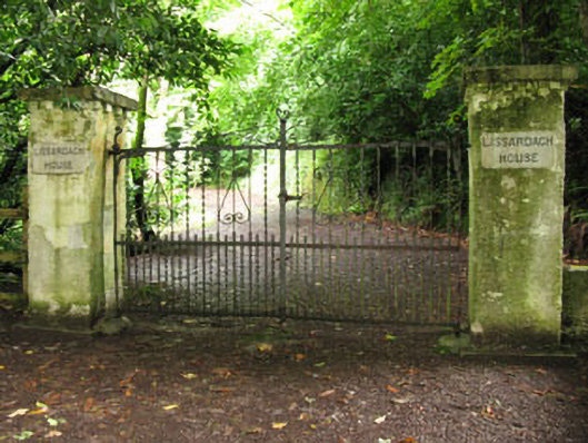 Lissardagh Housecountry house · 837 yd
 Holy well in BallymichaelHoly well · 1085 yd
 Man-made underground passage in KilcondyMan-made underground passage · 1180 yd
 Andrew's WoodWood · 1.5 mi
 Independence MuseumMuseum · 1.5 mi
 Priest MemorialMemorial · 1.6 mi
 Clodah CastleCastle · 1.7 mi
 Kilmurry WoodsPicnic place · 1.7 mi
 Stephen's WoodForest · 1.9 mi
 Castlemore CastleCastle · 2.3 mi
 Carrigadrohid CastleHeritage attraction · 2.9 mi