What is recorded here
No visible passage remains, but a six-yard depression on the south side of the Lisrobin West ringfort still marks the entrance. People dug through solid ground there, perhaps to hide, escape or keep something out of reach. The earth has taken the shaft back, leaving only a shallow dish behind the fort wall.
In ringfort (CO022-01201-). Bowman (1934, 470) recorded 'a depression on the South side [of the fort], c. 6 yds. in diam. This shows the site of a Man-made underground passage'. No visible surface trace.
The above description is derived from the published 'Archaeological Inventory of County Cork. Volume 4: North Cork' (Dublin: Stationery Office, 2000). In certain instances the entries have been revised and updated in the light of recent research.
Date of upload/revision: 14 January 2009
The monument record does not grant public access. Check the route and ask the landowner before entering private land.
- What survives
- Recorded monument
Places near here
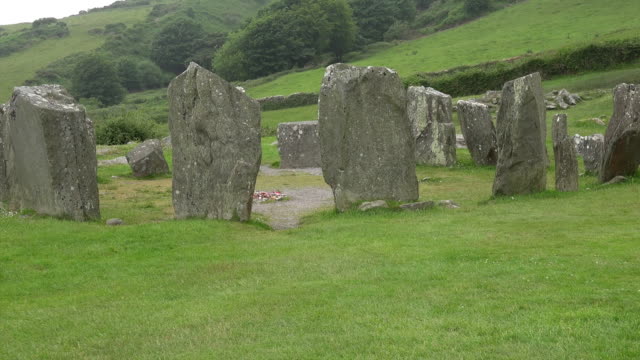 Standing StoneArchaeological place · 1258 yd
 Carn (Remains of)Barrow, ring-barrow · 1607 yd
 IndicatedKiln, lime · 1.2 mi
 Clashykinleen Bridgebridge · 1.7 mi
 Castle McAuliffe (Site of)Castle, unclassified · 2.4 mi
 CastleCastle, unclassified · 3.5 mi
 TaurMountain / peak · 3.9 mi
 Stanner's Glen, Priory WoodWood · 5.4 mi
 Kanturk CastleHeritage attraction · 7.4 mi
 Doctor's HillMountain / peak · 8.2 mi
 Nohaval WoodWood · 8.7 mi
 St Fursey's WellSpring · 9.3 mi