What is recorded here
Lisnaclea rath in County Cavan holds a Y-shaped depression near its inner bank, with one branch reaching five metres deep enough to swallow a standing person. The shape suggests people dug or cut a passage beneath the earth rather than leaving a natural hollow. If so, the rath was not merely a boundary but a threshold, inviting footsteps into darkness below the visible mound.
Situated near the inner face of the bank of Lisnaclea rath at N (CV018-010001-). A small Y-shaped depression, comprising short vertical leg (L 2m; Wth 1.9m; D 0.3m), a branch aligned NW-SE (L 3.4m; Wth 1.8m; D 0.35m) and a longer branch running NE-SW (L 5m; Wth 1.65m; D 1.1m), may represent the site of a Man-made underground passage.
The above description is derived from the published 'Archaeological Inventory of County Cavan' (Dublin: Stationery Office, 1995). In certain instances the entries have been revised and updated in the light of recent research.
Date of upload/revision: 22 December 2008
The monument record does not grant public access. Check the route and ask the landowner before entering private land.
- What survives
- Recorded monument
Places near here
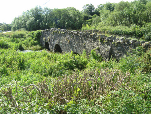 Knappagh Bridgebridge · 1228 yd
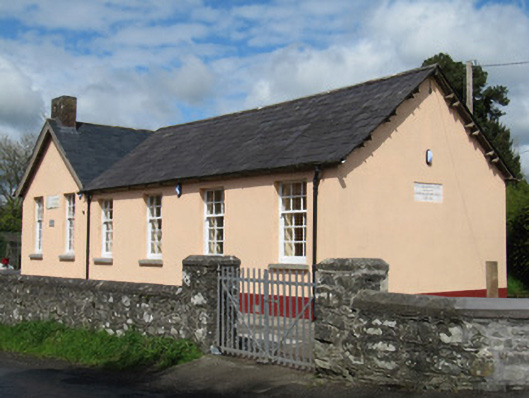 Scoil Náisiúnta Doire Ó gCuanaighschool · 1237 yd
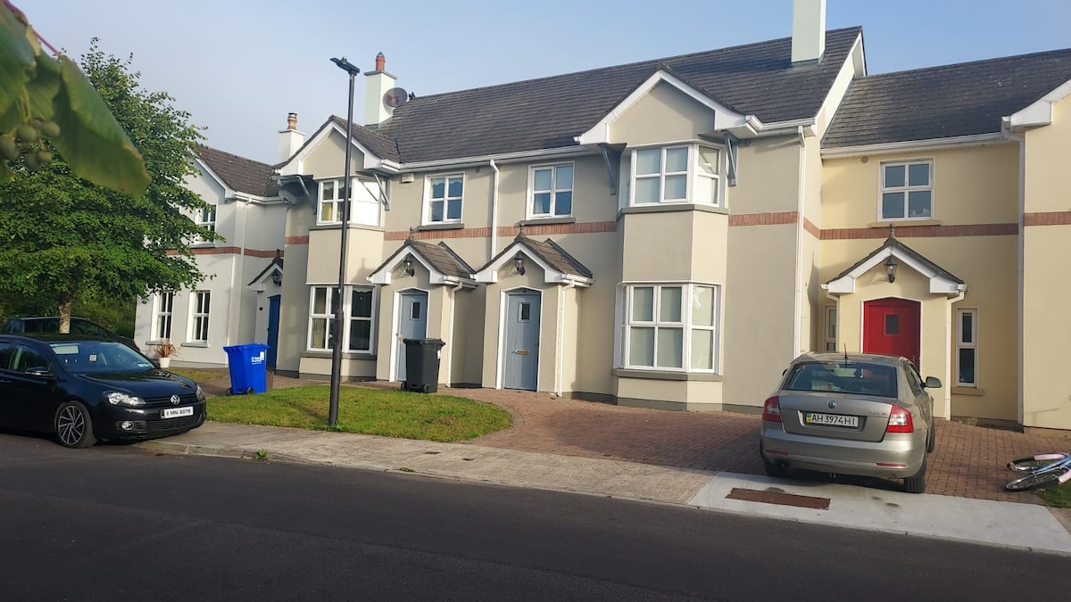 IndicatedFairy fort / earthen ringfort · 1264 yd
 Fairy fort / earthen ringfort in Cashel (clankee By.)Fairy fort / earthen ringfort · 1435 yd
 Annsfort MillsWood · 1.0 mi
 Senator Billy Fox 1939 - 1974Memorial · 1.1 mi
 AghagashlanMountain / peak · 1.6 mi
 Drumlumman Wet WoodlandWood · 1.6 mi
 Giant's GraveArchaeological place · 1.9 mi
 Small IslandIsland · 2.5 mi
 CarrickcreenyMountain / peak · 3.3 mi
 Kilmacaran IslandIslet · 3.6 mi