What is recorded here
Killinkere Ed is a collapsed underground chamber hidden inside the Lisnabantry rath, where a rectangular pit and broken stone walls still mark the seam between the living world and the dark. People built that chamber deliberately, perhaps to keep treasure, hide during storms or perform rituals others forgot. The earth later swallowed the roof, leaving only a shadowed hollow behind the ancient bank.
Situated within the interior of Lisnabantry rath (CV039-061001-) at SE. A subrectangular depression (L 8m NW-SE; Wth 4m NE-SW) with stone wall-footings at its SE end may represent the site of a collapsed Man-made underground passage.
The above description is derived from the published 'Archaeological Inventory of County Cavan' (Dublin: Stationery Office, 1995). In certain instances the entries have been revised and updated in the light of recent research.
Date of upload/revision: 22 December 2008
The monument record does not grant public access. Check the route and ask the landowner before entering private land.
- What survives
- Recorded monument
Places near here
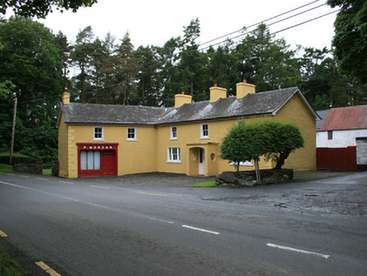 P. Morganfarm house · 872 yd
 The Big Man's GraveArchaeological place · 1083 yd
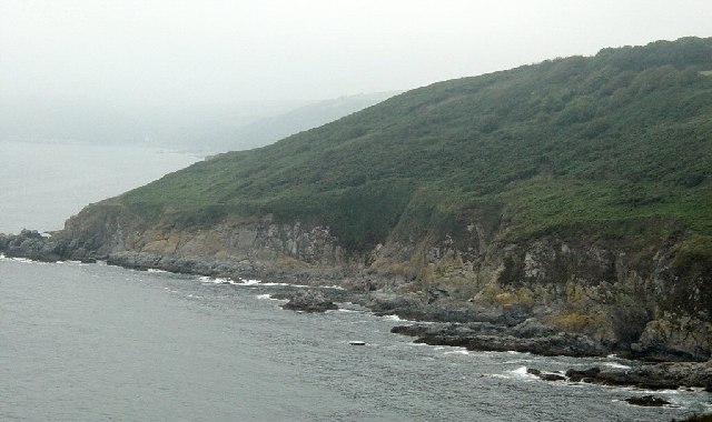 Black RockMountain / peak · 1301 yd
 Carraig-na-SasanacNamed rock · 1365 yd
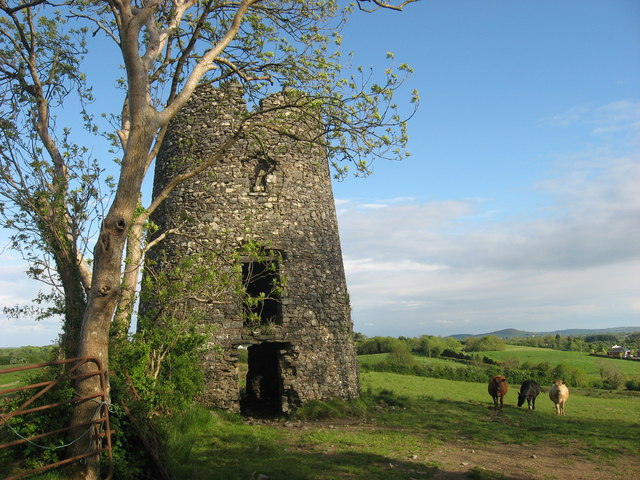 Windmill in Enagh (crossbane Ed)Windmill · 1395 yd
 EnaghMountain / peak · 1405 yd
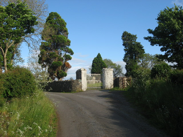 Grave YardGraveyard · 1738 yd
 Ardlow National Schoolschool · 1.0 mi
 Doon Wet WoodlandWood · 1.3 mi
 The Great FamineMemorial · 1.3 mi
 European YewEuropean Yew · 1.5 mi
 Welcome to VirginiaVisitor information · 1.6 mi