What is recorded here
In pasture, on a SE-facing slope overlooking Dunmanus Bay. According to local information, the underground passages of a Man-made underground passage were discovered in the course of land reclamation some years ago. It was filled in and no further work was carried out in that area. A partially grass-covered D-shaped earthen mound (19m N-S; 18m E-W; H 2m) occupies the area.
The above description is derived from 'The Archaeological Inventory of County Cork. Volume 5' (Dublin: Stationery Office, 2009).
Date of upload: 22 December 2009
The monument record does not grant public access. Check the route and ask the landowner before entering private land.
- What survives
- Recorded monument
Places near here
 ToberanoraneHoly well · 164 yd
 Sheep's Head - Caher LoopWalking route · 249 yd
 Burial Gd (Disused)Burial ground · 518 yd
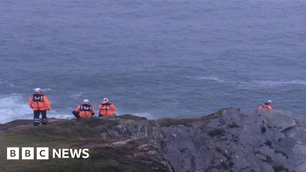 Drowning in Dunmanus BayMemorial · 667 yd
 Tra Ruaim Fishing SpurWalking route · 802 yd
 Caher MountainMountain / peak · 1.2 mi
 surgery/clinicsurgery/clinic · 2.4 mi
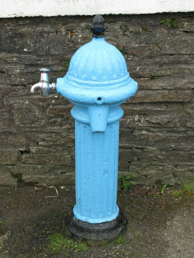 water pumpwater pump · 2.4 mi
 Nora DaltonMemorial · 2.6 mi
 Finn McCool's SeatViewpoint · 2.8 mi
 Stone RowHeritage attraction · 2.9 mi
 Dunmanus BayBay · 3.0 mi