What is recorded here
Lack hides a man-made underground passage beside Castlemaine Harbour, now reduced to a confused stony mound and a low bank in the corner of a field. Locals still call the site a fort, preserving the idea that people shaped the place for defense, storage or ritual before the earth swallowed its clearer form. The harbour light may have fallen across the entrance at low tide, guiding someone into darkness that is no longer visible.
KE046-013---- lies about 170m from the N shore of Castlemaine Harbour. The present remains are confused and difficult to interpret but the site is known locally as a fort and formerly contained an underground passage. The site occupies the NW corner of a field and it consists of a roughly semi-circular, stony mound, defined along its NW side by a field wall. The mound is up to 1m high and a maximum of 10m long. A low, stony bank, .6m high and c. 3m wide, extends N-S for 14.5m directly E of the mound.
The above description is derived from J. Cuppage, ‘Corca Dhuibhne. Dingle Peninsula archaeological survey. Ballyferriter. Oidhreacht Chorca Dhuibhne’ (1986), no. 717. In certain instances the entries have been revised and updated in the light of recent research.
Date of upload: 7 August 2013
The monument record does not grant public access. Check the route and ask the landowner before entering private land.
- What survives
- Recorded monument
Places near here
 Church in LackChurch · 899 yd
 KilnKiln, corn-drying · 1057 yd
 Enclosure in AughilsEnclosure · 1682 yd
 Cromane PointHeadland · 1.1 mi
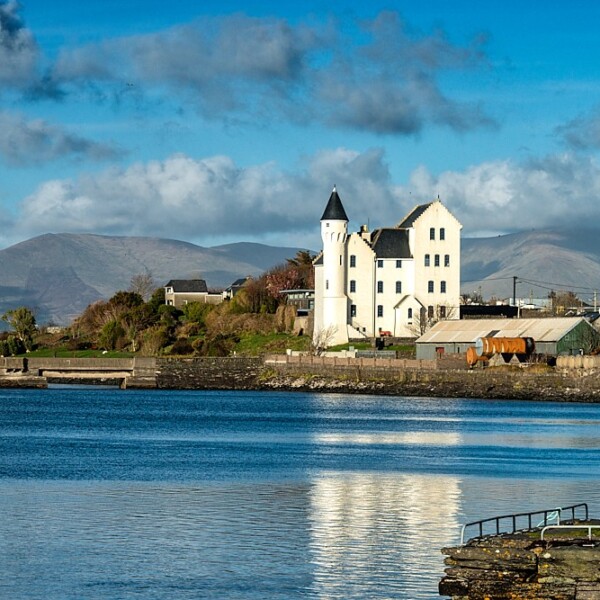 Hut site in CaherpierceHut site · 1.1 mi
 Lack MountainMountain / peak · 1.6 mi
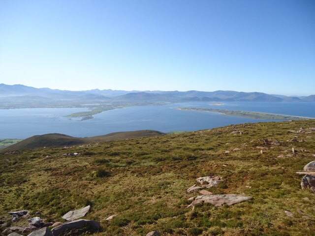 MoanlaurMountain / peak · 1.8 mi
 Cromane BeachBeach / strand · 3.0 mi
 Inch BeachBeach / strand · 3.5 mi
 Faisr's GraveArchaeological place · 4.1 mi
 Lough Yganavan Nature ReserveNature reserve · 4.3 mi
 Site of Camp CastleCastle, unclassified · 4.5 mi