What is recorded here
Situated on a NW-facing slope, with a SSW-NNE stream c. 100m to the NW. The discovery of a tunnel (L c. 30m; Wth c. 1m) c. 1940 is known locally, but no feature is visible at ground level in pasture.
The above description is derived from the published 'Archaeological Inventory of County Wexford' (Dublin: Stationery Office, 1996). In certain instances the entries have been revised and updated in the light of recent research.
Compiled by: Michael Moore
Date of upload/revision: 29 February 2012
The monument record does not grant public access. Check the route and ask the landowner before entering private land.
- What survives
- Recorded monument
Places near here
 Dunishal Housefarm house · 348 yd
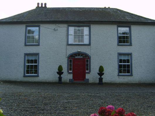 Kiltillahane Housefarm house · 532 yd
 Enclosure in TombreenEnclosure · 1350 yd
 Enclosure in Aska MoreEnclosure · 1.2 mi
 Blue SchoolMemorial · 1.3 mi
 SlieveboyMountain / peak · 1.9 mi
 SlievegowerMountain / peak · 2.1 mi
 Saint Brigid's WellSpring · 2.3 mi
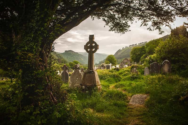 Carrig WoodForest · 3.9 mi
 Camolin WoodForest · 4.0 mi
 Clohamon Castle (in ruins)Castle, unclassified · 6.1 mi
 Clonogan Castle (site of)Castle, unclassified · 6.2 mi