What is recorded here
Killycluggin rath in County Cavan, Ireland holds a collapsed underground passage. The broken hole stretches 7.7 metres into the earth, 1.8 metres wide and 1 metre deep. It projects from the inner bank at the west-northwest, suggesting people once cut a tunnel through solid ground. Perhaps they walked beneath the rath to hide, store things or escape danger. The ceiling fell, but the shape of the passage still marks the effort and intention of the hands that dug it.
Situated within Killycluggin rath (CV013-027001-). A long, deep depression (L7.7m; Wth 1.8m; D 1m) projecting into the interior from the inner face of the bank of the rath at WNW, may represent a collapsed Man-made underground passage.
The above description is derived from the published 'Archaeological Inventory of County Cavan' (Dublin: Stationery Office, 1995). In certain instances the entries have been revised and updated in the light of recent research.
Date of upload/revision: 22 December 2008
The monument record does not grant public access. Check the route and ask the landowner before entering private land.
- What survives
- Recorded monument
Places near here
 Killycluggin StoneVisitor information · 489 yd
 Tober PatrickHoly well · 907 yd
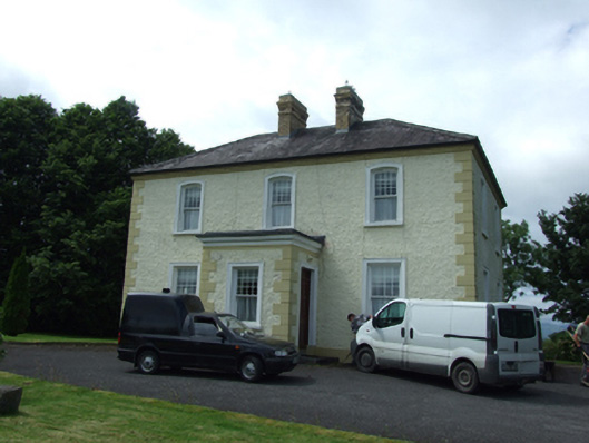 The Presbyterypresbytery/parochial/curate's house · 1089 yd
 IndicatedHilltop enclosure · 1114 yd
 Saint Patrick's Catholic Churchchurch/chapel · 1164 yd
 LissanoverCastle, unclassified · 1416 yd
 Bellaheady MountainMountain / peak · 1.0 mi
 Killarah ForestForest · 1.0 mi
 Ballyconnell Log CabinsForest · 1.4 mi
 Saint Mogue's IslandIslet · 1.8 mi
 Giants GraveArchaeological place · 1.8 mi
 Bilberry HillMountain / peak · 2.2 mi