What is recorded here
Two shallow holes sit six metres apart beside a Killaveenoge burial ground, marking the hidden throat of a man-made passage. Local memory treats the marks as entries to a dark tunnel rather than ordinary soil scars. The shape suggests people dug beneath a sacred place, perhaps to hide tools, avoid rain or reach water when drought tightened its grip.
Two depressions, (6m apart) c. 20m S of burial ground (CO120-026001-) indicate Man-made underground passage according to local information.
The above description is derived from the published 'Archaeological Inventory of County Cork. Volume 1: West Cork' (Dublin: Stationery Office, 1992). In certain instances the entries have been revised and updated in the light of recent research.
Date of upload/revision: 14 January 2009
The monument record does not grant public access. Check the route and ask the landowner before entering private land.
- What survives
- Recorded monument
Places near here
 Kill Burial Gd (Disused)Burial ground · 42 yd
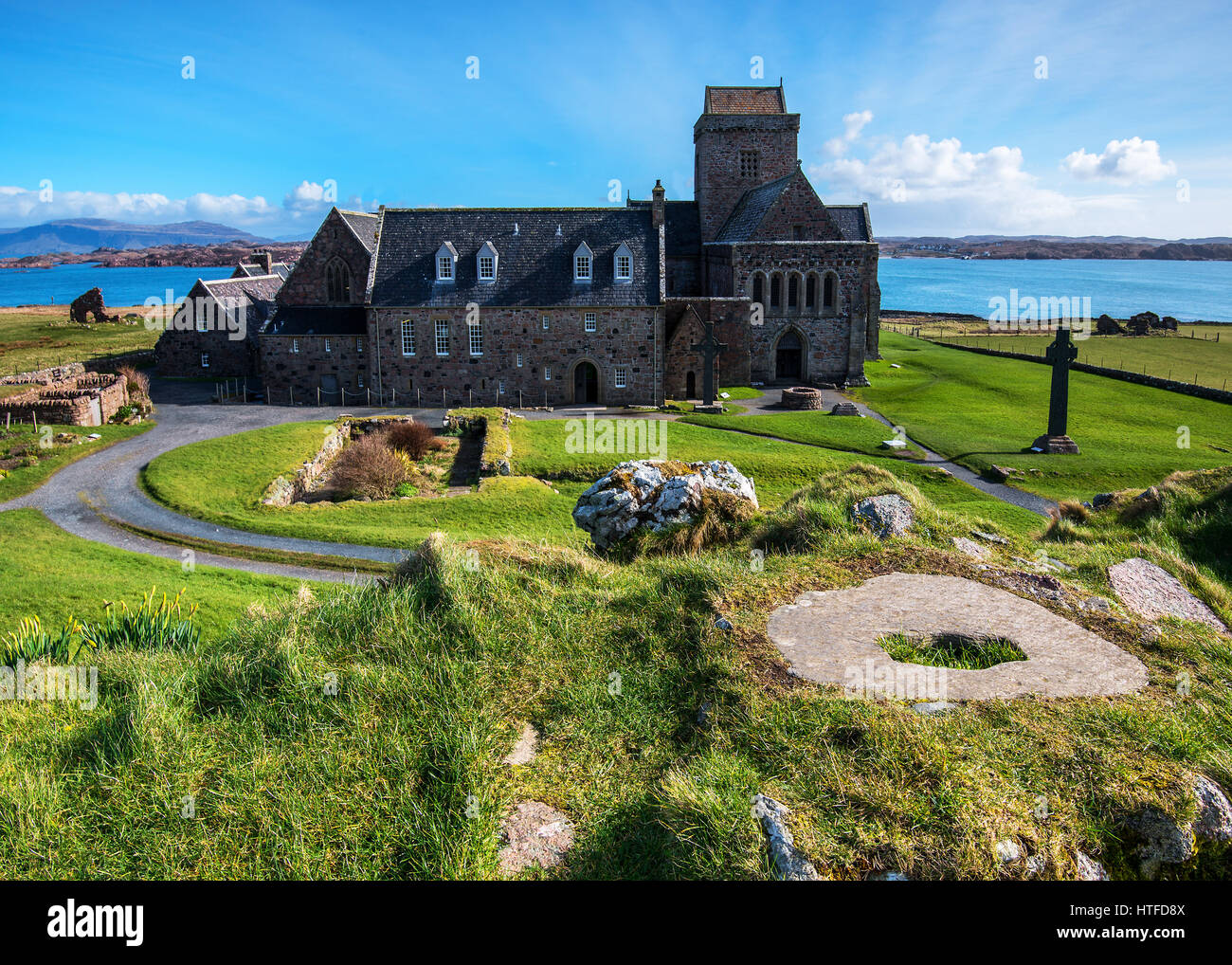 Burial Place for ChildrenBurial ground · 1.2 mi
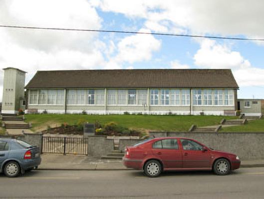 Scoil Mhuire Draighneaghschool · 1.2 mi
 Sacred Heart Roman Catholic Churchchurch/chapel · 1.2 mi
 Graveyard in ToughmacdermodyGraveyard · 1.5 mi
 Milane HillMountain / peak · 2.7 mi
 Mohona WoodWood · 3.5 mi
 CarrigfaddaMountain / peak · 3.7 mi
 Cross commemorating Holy Day.Memorial · 3.7 mi
 Drimoleague Heritage Loop WalkWalking route · 4.1 mi
 Moyny Bridge WalkWalking route · 4.4 mi
 Castle (Site of)Castle, Anglo-Norman masonry castle · 4.6 mi