What is recorded here
Kilcooly holds a long buried chamber that a bulldoer revealed in 1992, not a person or machine chosen by fate but ordinary work on a farm. The first chamber is wide enough to stand inside, the second is narrower, and a low crawl connects them like a throat between two rooms. The western and eastern ends remain blocked, suggesting the passage continues beyond what is known. It was closed again soon after because an open hole in pastureland is a trap for animals and people alike.
On a prominent rise in undulating pastureland, c. 100m to the S of a church (GA106-095001-). This Man-made underground passage was uncovered in 1992 as a result of the bulldozing of a ‘mound’. When inspected most of the roof lintels had been removed revealing a drystone-built Man-made underground passage (L >21.3m) consisting of two chambers connected by a creep running E-W. The 1st chamber (L 3.9m; Wth 2.1m; H 2m) lay at the W end. A linear rubble-filled hollow (L 5.3m) indicated that it extended further to the W. A creep (L 1.7m; Wth 0.7m; H 0.6m) at its E end lead to the 2nd chamber (L 3.8m; Wth 1.3-2m; H 2m). Another linear rubble-filled hollow (L 6.6m) indicated that it too extended further to the E. Shortly after the site visit the Man-made underground passage was filled in as it posed a danger to livestock.
Compiled by: Galway Archaeological Survey, UCG
Date of upload: 10 September 2019
The monument record does not grant public access. Check the route and ask the landowner before entering private land.
- What survives
- Recorded monument
Places near here
 IndicatedEcclesiastical enclosure · 144 yd
 Enclosure in KilcoolyEnclosure · 157 yd
 Kilcooly Castle (in ruins)Castle, tower house · 663 yd
 Corn MillMill, corn · 702 yd
 Quarry in BallydavidQuarry · 1.1 mi
 Dartfield Horse MuseumHeritage attraction · 2.1 mi
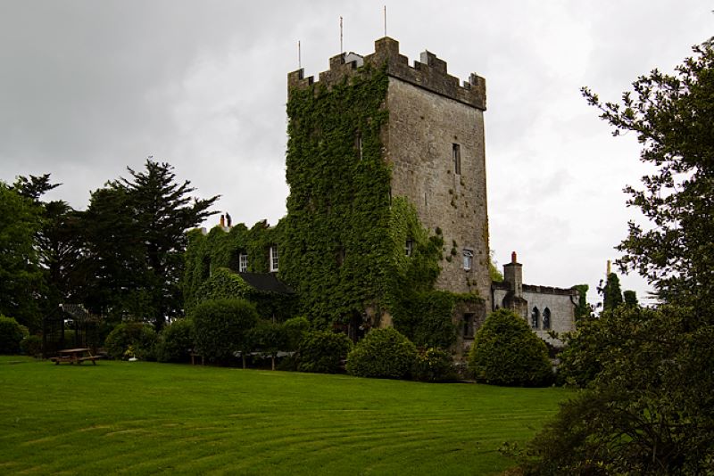 CastleCastle, unclassified · 2.1 mi
 Stone Islands SouthIslet · 4.6 mi
 Long PointHeadland · 4.6 mi
 Bush IslandIslet · 4.9 mi
 Quarryhill WoodWood · 5.4 mi
 Turoe StoneHeritage attraction · 5.9 mi