What is recorded here
On a locally prominent rise in open undulating pastureland, c. 540m to the E of 'Kilcooly Castle' (106-094----). On the 1838 and 1933 editions of the OS 6-inch map, the graveyard (GA106-095002-) associated with the church (GA106-095001-) is depicted as being roughly subcircular in plan (c. 65m NW-SE; c. 57m NE-SW), suggesting that it may mirror the line of a possible ecclesiastical enclosure. On inspection a low rocky scarp (H 1m max.) was traceable outside the modern graveyard wall, at a distance of 1.2m, from SW through N to SE. At N, this is supplemented by traces of a low stony bank (Wth 1m; int. H 0.4m; ext. H 1m). It is possible that this scarp/bank is the remains of an ecclesiastical enclosure.
On a locally prominent rise in open undulating pastureland, c. 540m to the E of 'Kilcooly Castle' (106-094----). On the 1838 and 1933 editions of the OS 6-inch map, the graveyard (GA106-095002-) associated with the church (GA106-095001-) is depicted as being roughly subcircular in plan (c. 65m NW-SE; c. 57m NE-SW), suggesting that it may mirror the line of a possible ecclesiastical enclosure. On inspection a low…
From the National Monuments Service (Archaeological Survey of Ireland) record GA106-095005
The monument record does not grant public access. Check the route and ask the landowner before entering private land.
- What survives
- Recorded monument
Places near here
Photo credits
- National Inventory of Architectural Heritage
- DeeEmm, Geograph · CC BY-SA 2.0
- Vanessa Kennedy, Wikimedia Commons · CC BY 2.0
- Dirk Huth, Wikimedia Commons · CC BY-SA 3.0
- Michael Deligan, Wikimedia Commons · CC BY-SA 4.0
- Mike Searle, Wikimedia Commons · CC BY-SA 2.0
Enclosure in KilcoolyEnclosure · 253 yd Ballydoogan HouseBridge · 1.1 miBallydoogan HouseCountry house · 1.2 miDartfield Horse MuseumHeritage attraction · 2.0 miStone Islands SouthIslet · 4.6 miLong PointHeadland · 4.6 miSt. Brendans Catholic CathedralCathedral · 4.7 miBush IslandIslet · 4.8 miQuarryhill WoodWood · 5.5 miTuroe StoneHeritage attraction · 5.8 miPallas CastleCastle, tower house · 6.2 miPallas CastleCastle · 6.2 mi
 Ballydoogan HouseBridge · 1.1 mi
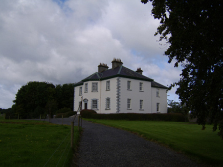 Ballydoogan HouseCountry house · 1.2 miDartfield Horse MuseumHeritage attraction · 2.0 miStone Islands SouthIslet · 4.6 mi
 Long PointHeadland · 4.6 mi
 St. Brendans Catholic CathedralCathedral · 4.7 miBush IslandIslet · 4.8 miQuarryhill WoodWood · 5.5 mi
 Turoe StoneHeritage attraction · 5.8 mi
 Pallas CastleCastle, tower house · 6.2 mi
 Pallas CastleCastle · 6.2 mi
More archaeology and monuments in County Galway · All of County Galway
What do you know about this place?