What is recorded here
Located 18 feet (c. 6m) below the surface of the motte (LH015-012001-). The Man-made underground passage was 'excavated' in 1870 by J. H. Lefroy (1871, 471-502) and found to consist of a drystone-built passage (L c. 22 feet (7m), Wth c. 3 feet 3 in. (1m), H c. 5 ft (1.6m)), aligned N-S. (Leslie 1908, 12-20, 94)
The above description is derived from both the published 'Archaeological Inventory of County Louth' (Dublin: Stationery Office, 1986) and the 'Archaeological Survey of County Louth' (Dublin: Stationery Office, 1991). In certain instances the entries have been revised and updated in the light of recent research.
Date of upload: 17 July 2007
The monument record does not grant public access. Check the route and ask the landowner before entering private land.
- What survives
- Recorded monument
Places near here
 GreenmountCastle, motte and bailey · 16 yd
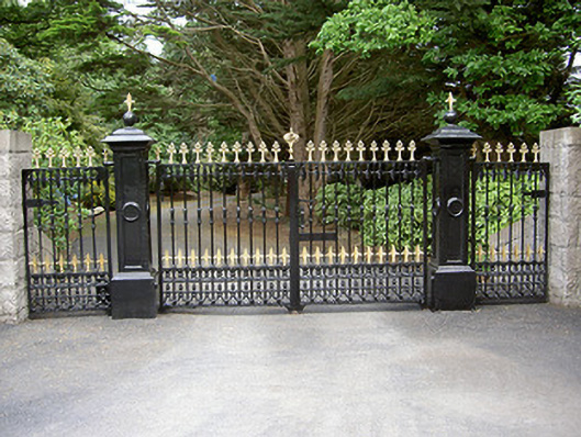 Greenmount Lodgegates/railings/walls · 302 yd
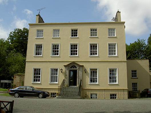 Spencer Houserectory/glebe/vicarage/curate's house · 792 yd
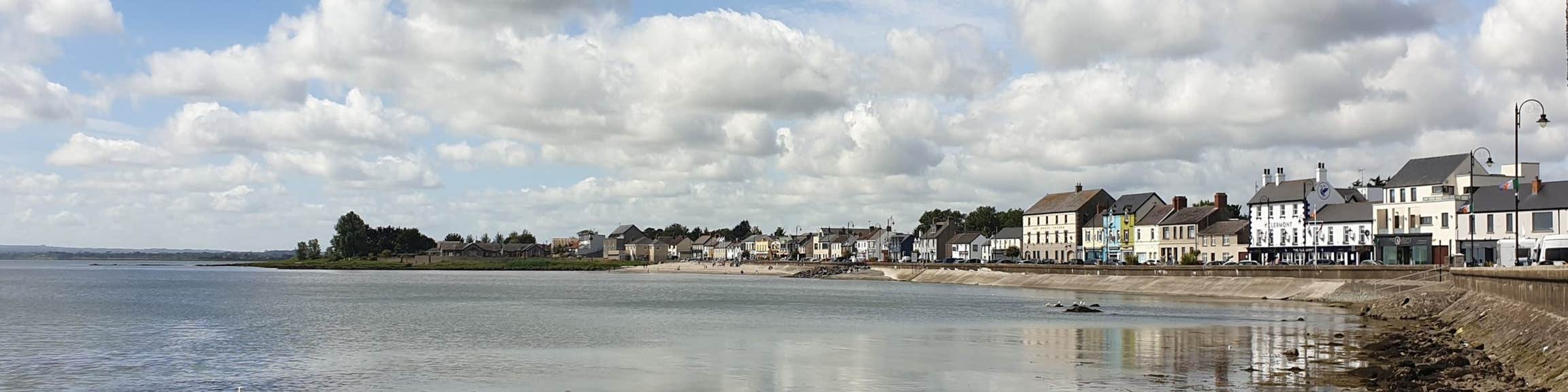 Font (present location) in KilsaranFont (present location) · 927 yd
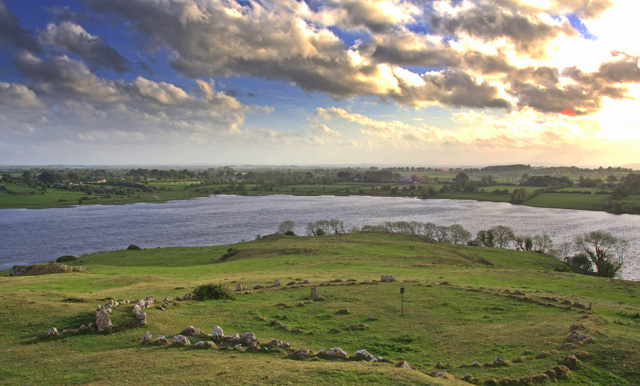 Enclosure in MaineEnclosure · 1243 yd
 CastleCastle, unclassified · 1.0 mi
 Drummeenagh HillMountain / peak · 1.9 mi
 Tullydonnell HillMountain / peak · 3.0 mi
 Viking BoatHeritage attraction · 3.1 mi
 Graveyard in Richardstown (ardee By., Richardstown Par.)Graveyard · 3.3 mi
 Monterey CypressMonterey Cypress · 3.3 mi
 Rabbit BurrowWood · 3.7 mi