What is recorded here
Burt Ed is a blocked underground passage on the east side of Burt Castle Hill, hidden inside a well-cultivated Grange field. People may have cut it for storage, flight or secret travel, but the earth has since closed the mouth and taken back the shape of the work. What remains is a absence you can still point to: a line in the land where human hands wanted more room than the surface allowed.
Access to this Man-made underground passage has long been blocked. It is situated in a field on the E side of Burt Castle Hill, in a well cultivated field. (Swan 1949, 119)
The above description was derived from the 'Archaeological Survey of County Donegal. A description of the field antiquities of the County from the Mesolithic Period to the 17th century.' Compiled by: Brian Lacey with Eamon Cody, Claire Cotter, Judy Cuppage, Noel Dunne, Vincent Hurley, Celie O'Rahilly, Paul Walsh and Seán Ó Nualláin (Lifford: Donegal County Council, 1983). In certain instances the entries have been revised and updated.
Date of upload: 22 September 2008
The monument record does not grant public access. Check the route and ask the landowner before entering private land.
- What survives
- Recorded monument
Places near here
 Burt CastleCastle, tower house · 409 yd
 Old ChurchChurch · 1246 yd
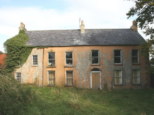 Carrowenfarm house · 1320 yd
 CastleCastle, unclassified · 1.3 mi
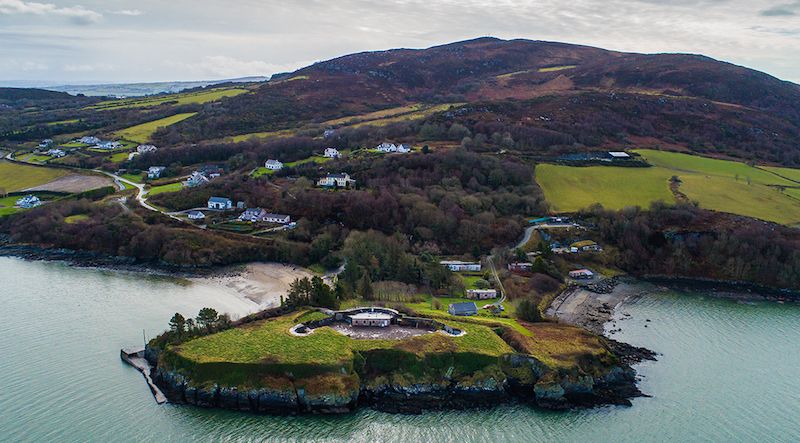 Ballymoney EnclosureEnclosure · 1.3 mi
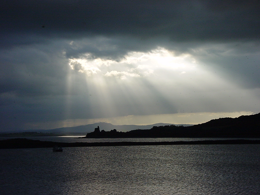 Inch Castle Promontory FortPromontory fort, coastal · 1.9 mi
 Emmery Celtic CrossWood · 2.4 mi
 Greenan MountainMountain / peak · 2.7 mi
 Grianán of AileachFairy fort / stone ringfort · 2.7 mi
 King's GraveArchaeological place · 2.8 mi
 InchIsland · 3.1 mi
 Mullanadee ShoreBeach / strand · 3.4 mi