What is recorded here
Situated at the edge of a tilled field on a NE-facing slope in the path of a former trackway which lead to a house (now abandoned). A large limestone slab (dims. 2m x 1m; T 0.4m) lies prostrate in this fallow area with other smaller limestone boulders scattered in the vicinity. There is no other trace of the site, the entrance to which, according to a local source, was blocked up some years ago. The Man-made underground passage (H 1.5-1.8m; Wth 8.7-10.2m) was investigated in 1932 and is described as being aligned N-S (L 7.2m), curving E at the N end (L 2.5m) with the S and W wall formed of natural limestone quarrying while the other walls are constructed from a combination of quarried wall-face and drystone-walling (OPW Files, 26th June 1932).
The above description is derived from 'The Archaeological Inventory of County Tipperary. Vol. 1 - North Tipperary' compiled by Jean Farrelly and Caimin O'Brien (Dublin: Stationery Office, 2002). In certain instances the entries have been revised and updated in the light of recent research.
Date of upload/revision: 22 September 2008
The monument record does not grant public access. Check the route and ask the landowner before entering private land.
- What survives
- Recorded monument
Places near here
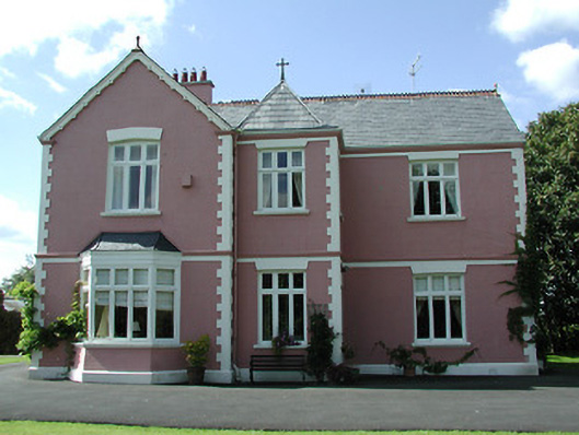 presbytery/parochial/curate's housepresbytery/parochial/curate's house · 703 yd
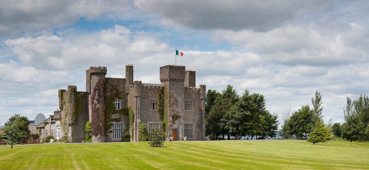 Graigue CastleCastle · 1004 yd
 Church (in ruins), Grave Yd.Church · 1062 yd
 Bawn in MoycarkyBawn · 1320 yd
 Enclosure in MoycarkyEnclosure · 1385 yd
 Enclosure in Killough (gaile Par.)Enclosure · 1.4 mi
 Gift Horse GalleryGallery · 1.4 mi
 Killough Hill (site of)Mountain / peak · 1.8 mi
 Horse and JockeyVisitor information · 2.2 mi
 Wildlife CorridorWood · 2.5 mi
 Byrnes's WoodsForest · 2.6 mi
 Lár na PáirceMuseum · 3.6 mi