What is recorded here
In level pasture, at the bottom of a steep NW-facing slope and in a possible enclosure (KE075-010001-). In the 1930s Capt. D.B. O'Connell noted that there was a slight mound with 'two massive flagstones under which are extensive cavities' in the centre of a large field sloping down from a farmhouse (SMR file). There are no visible remains of these stones or of the cavity underneath. Numerous stones and rocks are scattered along the boundary to the N.
Compiled by: Elizabeth Byrne, Ursula Egan and Sheila Ronan, Archaeological Survey Unit, University College, Cork.
Date of upload: 31 January 2011
This remains an important historical record, but the official description says the monument is no longer visible or has been destroyed. The monument record does not grant public access. Check the route and ask the landowner before entering private land.
- What survives
- No visible remains or recorded as destroyed
Places near here
 Owgarriff Br.Bridge · 429 yd
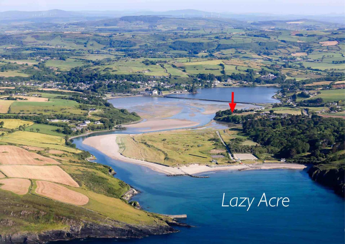 Enclosure in DromdiraloughEnclosure · 1543 yd
 Enclosure in Gortagullane (magunihy By.)Enclosure · 1.0 mi
 Blue Pool Nature ReserveWood · 1.6 mi
 TooreencormickBattlefield · 1.7 mi
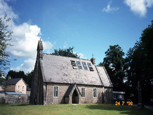 church/chapelchurch/chapel · 1.9 mi
 The Blue PoolGallery · 1.9 mi
 Muckross AbbeyHeritage attraction · 2.2 mi
 Sheheree Bog Nature ReserveNature reserve · 2.3 mi
 StoompaMountain / peak · 2.4 mi
 A.W.B. (Billy) Vincent MemorialMemorial · 2.4 mi
 Osprey RockIsland · 2.5 mi