What is recorded here
Located on the W side of the interior of Gortarowey rath (SL008-042001-). A roughly rectangular depression (dims 4.5m E-W; 3m N-S; D 0.6m) probable marks a collapsed Man-made underground passage. Two large roughly rectangular stones (av. dims L 1.6m; Wth 1.4m; T c.0.4m) immediately to the S may form part of this monument.
Compiled by: Patrick F. O'Donovan
Date of upload: 21 April 2011
The monument record does not grant public access. Check the route and ask the landowner before entering private land.
- What survives
- Recorded monument
Places near here
 Enclosure in GortaroweyEnclosure · 382 yd
 Tober PatrickArchaeological place · 734 yd
 Urlar Househouse · 839 yd
 Castle (in Ruins)Castle, unclassified · 1431 yd
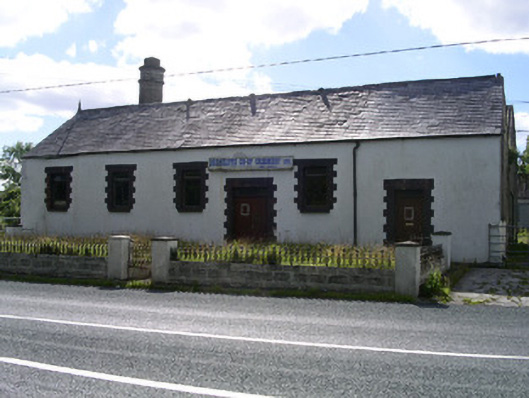 Drumcliffe Co-Operative Creamerycreamery · 1491 yd
 Floods WoodForest · 1741 yd
 Cat CornerWood · 1.4 mi
 BenbulbinMountain / peak · 1.5 mi
 CastleCastle, unclassified · 1.7 mi
 Benbulbin South-East TopMountain / peak · 1.8 mi
 BenbulbenMountain · 1.8 mi
 Grave of WB YeatsHeritage attraction · 1.9 mi