What is recorded here
Within the interior of a cashel (GA044-053----). Traces of a possible Man-made underground passage are visible in W sector where a spoon-shaped hollow (L 11m), running E-W, is visible.
The above description is derived from the published 'Archaeological Inventory of County Galway Vol. II - North Galway'. Compiled by Olive Alcock, Kathy de hÓra and Paul Gosling (Dublin: Stationery Office, 1999).
Date of upload: 28 August 2015
The monument record does not grant public access. Check the route and ask the landowner before entering private land.
- What survives
- Recorded monument
Places near here
 Field system in Barnaderg NorthField system · 1481 yd
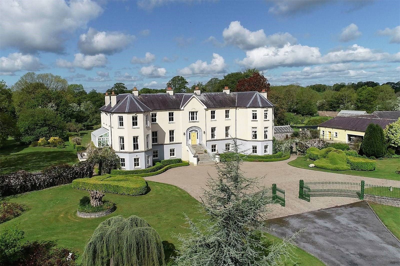
 Barbersfort Ho.House, 18th/19th century · 1522 yd
 Barbersfort Househouse · 1554 yd
 IndicatedSweathouse · 1584 yd
 Barnaderg CastleCastle · 1733 yd
 Knockmoy AbbeyHeritage attraction · 2.9 mi
 Ballinderry CastleCastle, tower house · 3.6 mi
 European ashEuropean ash · 7.0 mi
 Mass RockNamed rock · 8.1 mi
 Menlough IRAMemorial · 8.5 mi
 KnockmaaWood · 8.6 mi
 Lisherriddy FortFairy fort / earthen ringfort · 1612 yd