What is recorded here
Garranekinnefeake in County Cork, Ireland held a levelled ringfort and a man-made underground passage before the land changed. Power recorded the site in 1940, but the exact location has been lost. The passage may have let people move through the fort during rain, hide goods, or escape danger. It disappears now because the earth took back what hands had shaped.
According to Power (1940, 101) there was a levelled ringfort (CO088-08001-) with a Man-made underground passage in this townland. Exact location not known.
The above description is derived from the published 'Archaeological Inventory of County Cork. Volume 2: East and South Cork' (Dublin: Stationery Office, 1994). In certain instances the entries have been revised and updated in the light of recent research.
Date of upload/revision: 14 January 2009
The monument record does not grant public access. Check the route and ask the landowner before entering private land.
- What survives
- Recorded monument
Places near here
 Grave YdGraveyard · 454 yd
 Garrankinnefeake GraveyardRuins · 462 yd
 Rathcoursey Housecountry house · 1021 yd
 View of Rostellan DolmenRuins · 1094 yd
 Jamesbrook HallCountry house · 1135 yd
 CastleCastle, unclassified · 1376 yd
 Bagwells TowerCastle · 1627 yd
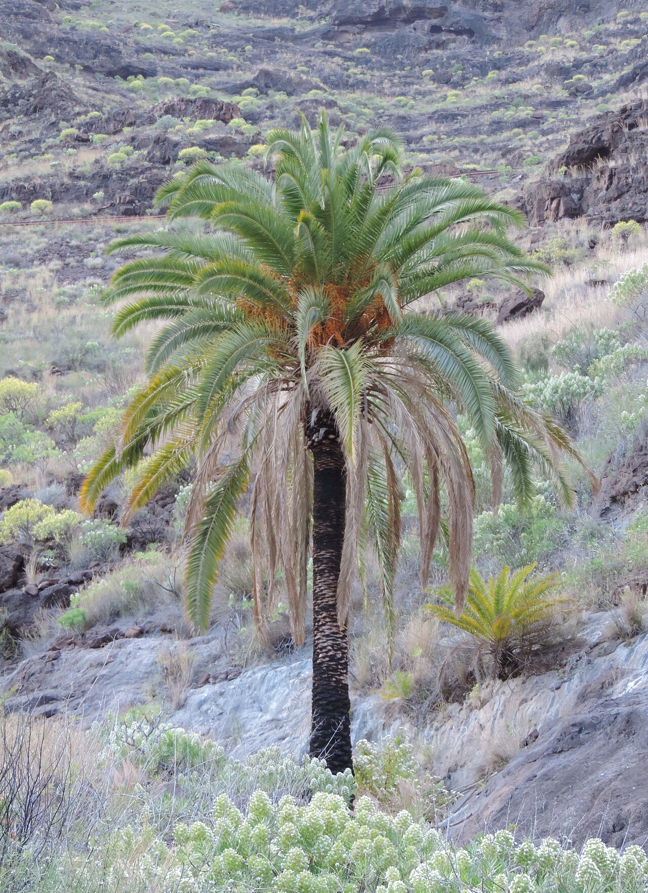 Canary Island date palmCanary Island date palm · 1655 yd
 Tower WoodForest · 1.0 mi
 Site of old schoolHeritage attraction · 1.4 mi
 US Naval Air Station USNAS QueenstownHeritage attraction · 1.9 mi
 Glenmore StrandBeach / strand · 2.0 mi