What is recorded here
Gardenfield holds an L-shaped underground passage within the northeast quadrant of a ringfort, its long arm stretching twelve and a half metres toward the south-southwest while the shorter arm cuts nine metres east-west. The depression reaches one metre deep, narrow enough to force a person to walk single-file and broad enough for two shadows to overlap. It is not a natural cave but a made space, likely carved for storage, ritual or escape when the land above became dangerous. The angle suggests intention rather than accident, as if someone measured the dark before shaping it.
Within NE quadrant of a ringfort (GA029-078----). This Man-made underground passage is indicated by an L-shaped linear depression (L c. 22m, Wth c. 5m) up to 1m in depth. The long axis (L c. 12.55m) runs NNE-SSW and the shorter axis (L 9.4m) extends of NW side and runs E-W.
The above description is derived from the published 'Archaeological Inventory of County Galway Vol. II - North Galway'. Compiled by Olive Alcock, Kathy de hÓra and Paul Gosling (Dublin: Stationery Office, 1999).
Date of upload: 05 August 2010
The monument record does not grant public access. Check the route and ask the landowner before entering private land.
- What survives
- Recorded monument
Places near here
 Enclosure in GardenfieldEnclosure · 102 yd
 LismoreArchaeological place · 575 yd
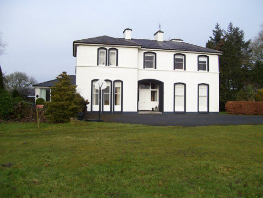 Gardenfield Househouse · 787 yd
 Kilcreevanty Bridgebridge · 1270 yd
 European ashEuropean ash · 1614 yd
 Fartamore Castle in ruinsCastle, tower house · 2.6 mi
 Fartamore Castle (ruins)Castle · 2.6 mi
 Mass RockNamed rock · 2.8 mi
 KnockmaaWood · 5.9 mi
 Kilcoona Round TowerHeritage attraction · 9.7 mi
 Ballinduff BayBay · 12 mi
 Cross in CarrownagarryCross · 975 yd