What is recorded here
Situated on a low rise in a low-lying undulating landscape. There is local knowledge of an underground chamber or Man-made underground passage, the opening to which was in the SW part of the interior of rath (MO029-008001-). It is reported that animal bones and charcoal littered the floor of a drystone-walled and lintelled passage that extended off to the SE.
The above description is derived from the published 'Archaeological Inventory of County Monaghan' (Dublin: Stationery Office, 1986). In certain instances the entries have been revised and updated in the light of recent research.
Date of revision: 28 August 2017
The monument record does not grant public access. Check the route and ask the landowner before entering private land.
- What survives
- Recorded monument
Places near here
 Morgans fortFairy fort / earthen ringfort · 9 yd
 Man-made underground passage in CarrickykellyMan-made underground passage · 505 yd
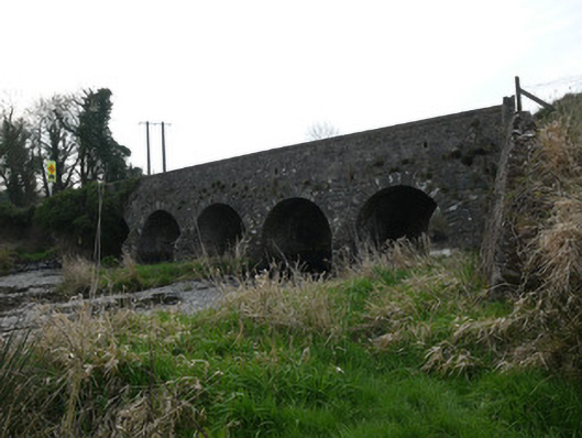 Magoney Bridgebridge · 1.5 mi
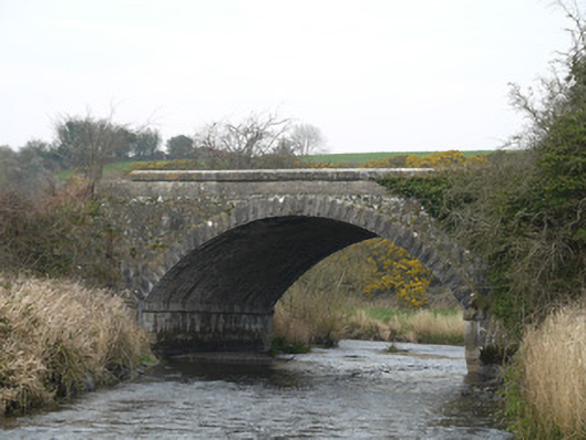 Fane River Bridgebridge · 1.5 mi
 CastleCastle, unclassified · 2.8 mi
 Golf 30Fort · 3.3 mi
 MEDIEVAL & POST-MED. CHURCH & GRAVEYARD in Creggan Bane GlebeMEDIEVAL & POST-MED. CHURCH & GRAVEYARD · 3.5 mi
 Battle of Newry Roadbattle · 3.6 mi
 Ballsmill Amenity LandPicnic place · 3.9 mi
 Sky HillMountain / peak · 4.4 mi
 KnockreaghMountain / peak · 4.4 mi
 Irish Hunger StrikersMemorial · 4.8 mi