What is recorded here
In a tillage field, located on a low elevation in hilly terrain.
This Man-made underground passage was discovered in April 2019 when a stone roof lintel was dislodged during ploughing. The surface opening (1.7n NW-SE; 1m NE-SW), created by the collapse of the roof lintel, revealed a roughly circular chamber (diam. 3m; H 2.5-3m), constructed of a well-built drystone wall comprising small to medium-sized stones. The chamber walls are corbelled, giving the chamber a bee-hive shape in profile. Due to safety concerns, it was not possible to enter the chamber, but a small lintelled opening was visible in the wall at N; this may be a recess/cupboard or it may mark a very small creepway-type entrance to a passage. The displaced lintel was visible lying on the floor of the chamber. The surface open to the chamber has been covered and sealed to protect the Man-made underground passage.
Attached images:
DG070-082----_01.JPG Surface opening caused by collapse of roof slab.
DG070-082----_02.JPG Drystone wall of circular chamber.
DG070-082----_03.JPG Arrow points to small opening in N side of chamber; collapsed roof lintel visible on floor of chamber.
Compiled by: Jane O'Shaughnessy
Date of upload: 16 April 2019
The monument record does not grant public access. Check the route and ask the landowner before entering private land.
- What survives
- Recorded monument
Places near here
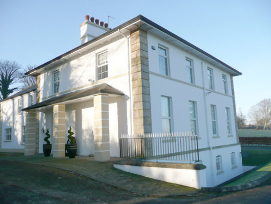 Croghan Househouse · 867 yd
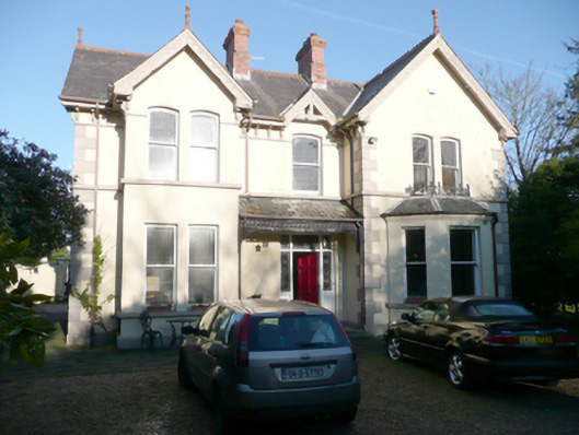 Coneyburrow Househouse · 1065 yd
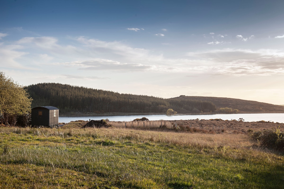 Enclosure in GlensmoilEnclosure · 1616 yd
 BATTLE SITE: BATTLE OF THE FORDS, Central crossing, 1689 in Magirr; Town Parks OF StrabaneBATTLE SITE: BATTLE OF THE FORDS, Central crossing, 1689 · 1694 yd
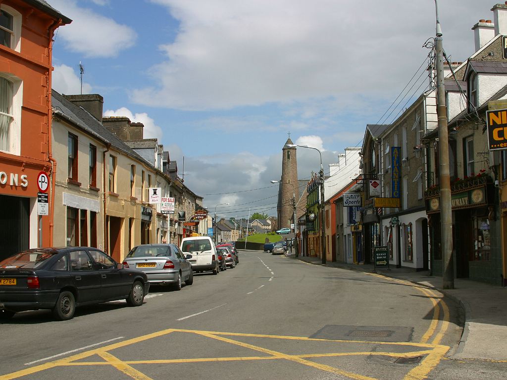 Town defences in LiffordTown defences · 1.1 mi
 CASTLE in Town Parks OF StrabaneCASTLE · 1.4 mi
 Gray PrinterHeritage attraction · 1.4 mi
 1916 Easter Rising Memorial StoneMemorial · 1.4 mi
 Second World War MemorialMemorial · 1.5 mi
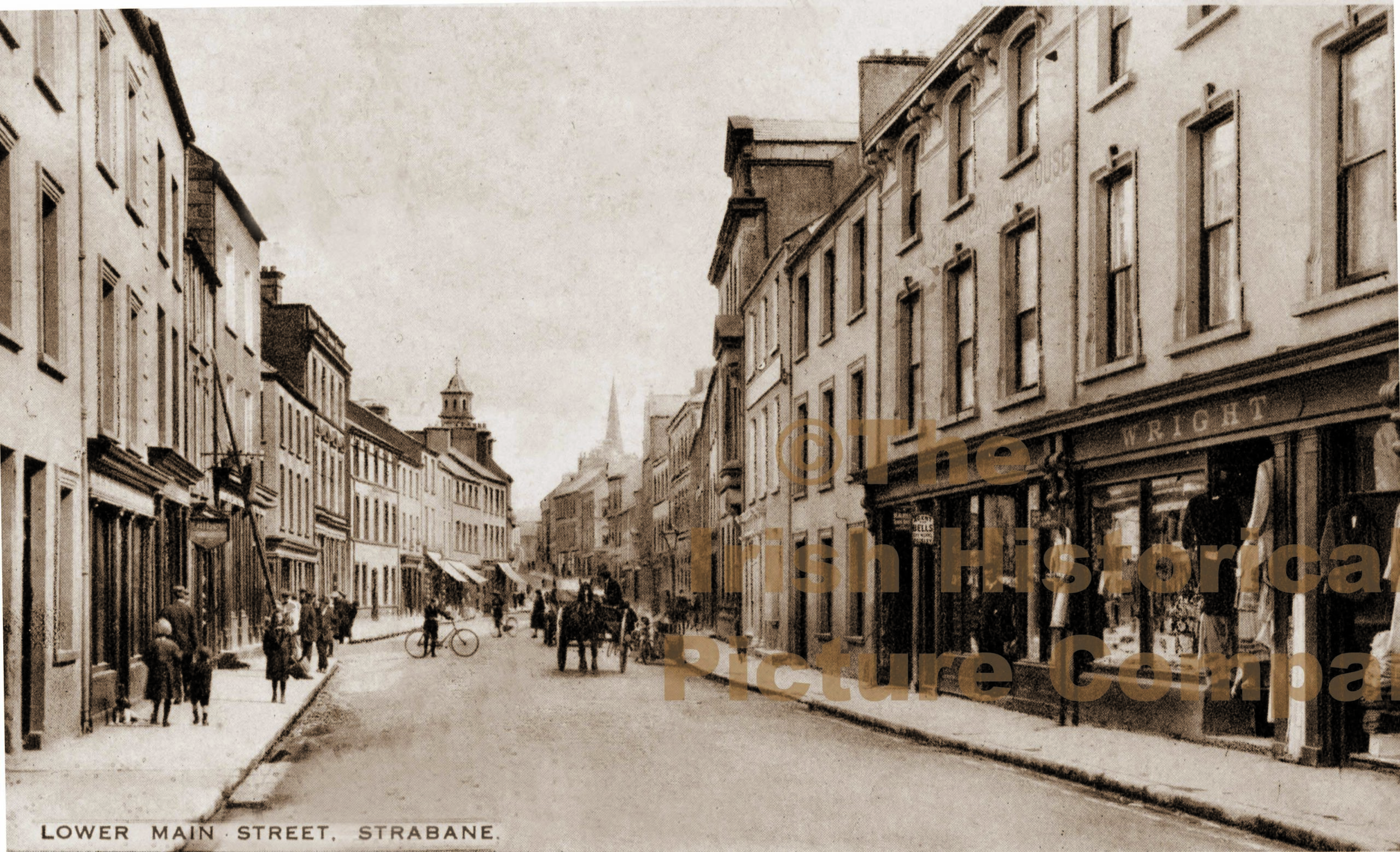 PLANTATION CASTLE (unlocated) in StrabanePLANTATION CASTLE (unlocated) · 1.5 mi
 Abercorn FactoryHeritage attraction · 1.5 mi
 Croaghan HillMountain / peak · 1.5 mi