What is recorded here
On a rise in pastureland. Described by McCaffrey (1952, 270, no. 26a) as a ‘large L-shaped Man-made underground passage, containing vent-holes and a ‘creep-hole’ or trap’. Only a well-preserved drystone-built passage (L 6.9m; Wth 1.1-1.95m; H 0.7-1.95m), beneath a N-S running field boundary, is now evident. The access point (Wth 1.1m; H 0.7m) is on the S side of a rubble-filled rectangular hollow (L 16m; Wth 1.1m; D 0.4m) at its N end - the field boundary kinks around the hollow at this point. The N end of the passage is filled with rubble but the original bedrock floor is visible at the S end. Natural bedrock is incorporated into the side-walls. A small triangular alcove (H 1m; Wth 0.95m; L 1.35m) at SW may be one of the air vents noted by McCaffrey. A stone-filled depression (L 1m; Wth 0.5m), c. 5m to the NE of the N end of the passage may be associated. Another ‘cave’ noted towards the middle of the field (pers. comm. S. O’Callaghan) was not visible. Again, it may be related to this Man-made underground passage.
Compiled by: Galway Archaeological Survey, UCG
Date of upload: 10 September 2019
The monument record does not grant public access. Check the route and ask the landowner before entering private land.
- What survives
- Recorded monument
Places near here
 CaveMan-made underground passage · 829 yd
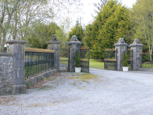 demesne walls/gates/railingsdemesne walls/gates/railings · 1042 yd
 Round Tower (in ruins)Round tower · 1089 yd
 Ardrahan Churchchurch/chapel · 1115 yd
 Castle (in ruins)Castle, Anglo-Norman masonry castle · 1208 yd
 Drumharsna CastleHeritage attraction · 1.1 mi
 Drumharsna Castle (in ruins)Castle, tower house · 1.1 mi
 HawthornHawthorn · 2.7 mi
 European ashEuropean ash · 2.8 mi
 Drumacoo Monastic SiteHeritage attraction · 4.7 mi
 MweenisharanIslet · 5.9 mi
 Goose IslandIslet · 8.6 mi