What is recorded here
On the southern foothills of the Caha mountains, overlooking Bantry Bay. This Man-made underground passage was discovered in 1991 while a mechanical digger was excavating a rubbish pit (5m x 1.7m) c. 20m from a house. It was recorded by Eamonn Cotter (pers. comm.) and the following description is based on that record. The Man-made underground passage was found at the S end of the pit. It was apparent that it had previously been disturbed in modern times. A sherd of modern earthenware pottery and some pieces of a mud plaster were found within. On the E side of the pit an opening (Wth 1.17m; H 0.84m) led into a chamber of similar width and slightly higher, extending eastwards for 3.2m. Near the E end of this chamber, a creepway (Wth 0.54m; H 0.7m) led into a small subcircular chamber extending 1.2m to the S. Its S end had been blocked up by drystone-walling. On the W side of the pit another opening (Wth 0.86m) led into a passage of the same width extending westwards for c. 2m, where it was blocked by stones and earth which had collapsed from above or had been thrown in as backfill at some time in the past. To the S of this passage a low narrow opening led to two further passages, one leading to the S, the other to the W. The chambers and passages are entirely earth-cut. However, the landowner pointed out three large stones (L c. 1.5m; Wth 0.5m) which had been dug up from the Man-made underground passage and which may have been roof-slabs, possibly at an entrance.
The above description is derived from 'The Archaeological Inventory of County Cork. Volume 5' (Dublin: Stationery Office, 2009).
Date of upload: 22 December 2009
The monument record does not grant public access. Check the route and ask the landowner before entering private land.
- What survives
- Recorded monument
Places near here
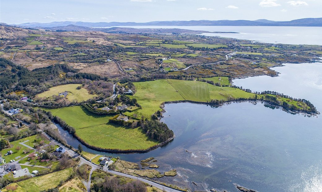 Adrigole Double Ditch FortArchaeological place · 604 yd
 Mass MountMountain / peak · 927 yd
 Stone CircleHut site · 968 yd
 Hungry Hill GalleryGallery · 1.0 mi
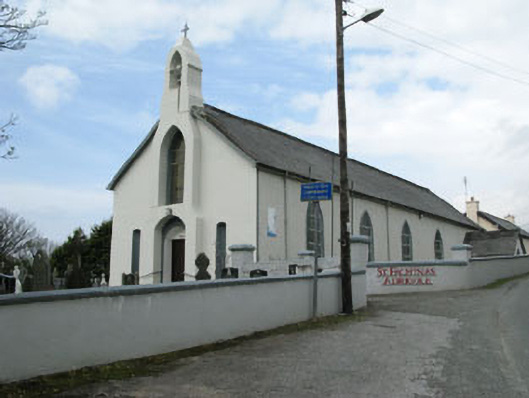 St. Fachtna's Roman Catholic Churchchurch/chapel · 1.2 mi
 Graveyard in DrumlaveGraveyard · 1.2 mi
 West Cork Sailing & Powerboating CentreHeritage attraction · 1.3 mi
 Kilcaskan Church (in Ruins)Church · 1.4 mi
 Orthon's IslandIslet · 1.6 mi
 Shot HeadHeadland · 1.7 mi
 Nareera South-West TopMountain / peak · 2.0 mi
 Mehal HeadHeadland · 2.2 mi