What is recorded here
Crooha East holds a man-made underground passage inside a bivallate ringfort, marked by a shallow depression one and a half metres wide and six metres from the south bank. That small hole may have hidden a stair, a cache or a way of escaping rain and enemies. It still invites imagination because so little remains visible.
In S quadrant of bivallate ringfort (CO103-01101-) (O'Brien 1970, 13). Shallow depression in interior (diam 1.5m) c. 6m from base of S bank noted.
The above description is derived from the published 'Archaeological Inventory of County Cork. Volume 1: West Cork' (Dublin: Stationery Office, 1992). In certain instances the entries have been revised and updated in the light of recent research.
Date of upload/revision: 14 January 2009
The monument record does not grant public access. Check the route and ask the landowner before entering private land.
- What survives
- Recorded monument
Places near here
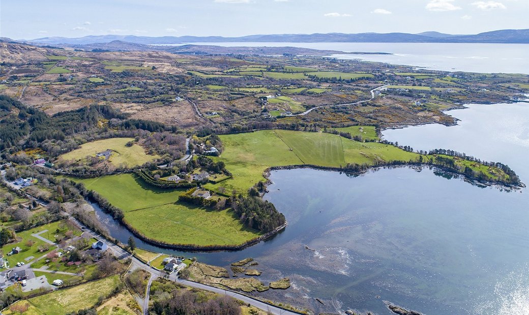 Adrigole Double Ditch FortArchaeological place · 4 yd
 Mass MountMountain / peak · 1017 yd
 Field boundary in Crooha EastField boundary · 1345 yd
 Hungry Hill GalleryGallery · 1.4 mi
 RoadRoad, unclassified togher · 1.4 mi
 Kilcaskan Church (in Ruins)Church · 1.4 mi
 Graveyard in DrumlaveGraveyard · 1.5 mi
 West Cork Sailing & Powerboating CentreHeritage attraction · 1.7 mi
 Nareera South-West TopMountain / peak · 1.7 mi
 Shot HeadHeadland · 1.8 mi
 Orthon's IslandIslet · 1.9 mi
 Mehal HeadHeadland · 2.1 mi